|
search place name
|
||
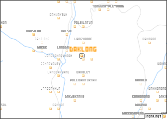
Dak Long (Vietnam)Dak Long is a town in Vietnam. An overview map of the region around Dak Long is displayed below.
regional and 3d topo map of Dak Long, Vietnam ::
Dak Long airports ::
The nearest airport is DAD - Danang Intl, located 138.9 km north of Dak Long.
Other airports nearby include PKZ - Pakse (213.7 km west), Nearby towns ::
Dak Long Tuar (0.0km north) //
Dak Nân (1.9km north) //
Dak Nok Joy (1.8km east) //
Làng Yonne (3.7km north) //
Dak Bley (3.7km south) //
Làng Dak Jak (4.0km north west) //
Làng Dak Nay Kram (5.4km west) //
Pơlei Dak Tur Nak (5.6km south) //
Dak Pong (5.8km south) //
Ðắc Sút (6.6km north west) //
Làng Dak Sang (6.5km south west) //
Pơlei Latun (7.4km north) //
Dak Sut Kram (7.6km north) //
Dak Nay Puey (7.4km west) //
Dàng Kon Tong Dak (9.2km south west) //
Làng Dak Kla (10.3km south west) //
Dak Rơ Bong (2) (10.3km south west) //
[all distances 'as the bird flies' and approximate] 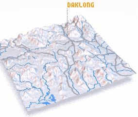 Places with similar names to Dak Long, Vietnam ::
// Dokaling (PH)
// Taklang (MM)
// Tiegling (DE)
// Takulong (MY)
// Tekalong (MY)
// Tekalong (MY)
// Dogolongo (CF)
// Tegallengah (ID)
// Tekalong (ID)
// Daka Lanké (NE)
Disclaimer :: Information on this page comes without warranty of any kind |
||
|
Where is Dak Long? Elevation and coordinates ::
Latitude (lat): 14°52'0"N Longitude (lon): 107°45'0"E
Elevation (approx.): 907m (map arrows pan, magnifying glasses zoom) |
||
|
Visiting Dak Long? Hotel/Accommodation ::
Book a hotel in Dak Long Travel Guide ::
Buy a travel guide for Vietnam rental cars ::
car rental offers GPS waypoint ::
download a GPX waypoint (PoI) of Dak Long for your GPS receiver
|
||