|
search place name
|
||
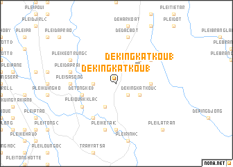
Dè King Kat Kou (1) (Vietnam)Dè King Kat Kou (1) is a town in Vietnam. An overview map of the region around Dè King Kat Kou (1) is displayed below.
regional and 3d topo map of Dè King Kat Kou (1), Vietnam ::
Dè King Kat Kou (1) airports ::
The nearest airport is NHA - Nhatrang, located 193.3 km south east of Dè King Kat Kou (1).
Nearby towns ::
Dè King Hec (1) (2.6km south east) //
Dè Dak Bott (3.6km west) //
Dè Dilam (4.1km south west) //
Dè King Kat Kou (2) (4.1km south east) //
Dè King Kat Kou (1) (4.0km north east) //
Dè King Deung (5.2km north east) //
Dè King Dour (2) (5.4km east) //
Dè Tong Ké (1) (5.7km west) //
Plei Quak (1) (6.6km south west) //
Plei Quak Kla (2) (6.6km south west) //
Dè King Dour (1) (6.6km north east) //
Plei Sa Song (7.2km west) //
Plei Dek (7.4km south) //
Plei Dap Rao (2) (7.4km west) //
Plei Ketai (2) (7.6km south) //
De Ðac Bôt (7.6km north) //
Plei Keo Trung (2) (8.1km north west) //
Plei La Tran (10.3km south east) //
[all distances 'as the bird flies' and approximate] 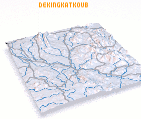 Places with similar names to Dè King Kat Kou (1), Vietnam ::
// Dè King Kat Kou (1) (VN)
Disclaimer :: Information on this page comes without warranty of any kind |
||
|
Where is Dè King Kat Kou (1)? Elevation and coordinates ::
Latitude (lat): 13°42'0"N Longitude (lon): 108°14'0"E
Elevation (approx.): 218m (map arrows pan, magnifying glasses zoom) |
||
|
Visiting Dè King Kat Kou (1)? Hotel/Accommodation ::
Book a hotel in Dè King Kat Kou (1) Travel Guide ::
Buy a travel guide for Vietnam rental cars ::
car rental offers GPS waypoint ::
download a GPX waypoint (PoI) of Dè King Kat Kou (1) for your GPS receiver
|
||