|
search place name
|
||
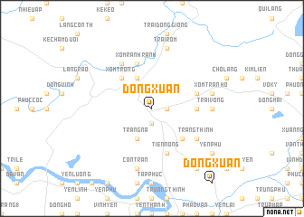
Ðông Xuân (Vietnam)Ðông Xuân is a town in Vietnam. An overview map of the region around Ðông Xuân is displayed below.
regional and 3d topo map of Ðông Xuân, Vietnam ::
Ðông Xuân airports ::
The nearest airport is SNO - Sakon Nakhon, located 236.3 km south west of Ðông Xuân.
Nearby towns ::
Xuân Lạc (1.9km south) //
Nàn Mới (1.8km east) //
Tân Kỳ (4.1km north west) //
Trang Ná (4.1km south west) //
Trại Lạt (5.1km north west) //
Xóm Trong (5.1km north west) //
Hậu Trạch (5.1km south east) //
Nguyệt Lạng (5.3km east) //
Xóm Rạnh Rạnh (5.8km north) //
Ðạo Viên (5.6km east) //
Tiên Nông (5.8km south) //
Làng Rỏi (6.6km north west) //
Trang Thinh (6.4km south east) //
Trại Vông (7.0km east) //
Trại Rom (7.6km north) //
Con Trăn (7.6km south) //
Cồn Lôi (7.2km east) //
Ðồng Bới (7.2km east) //
Xóm Tran Hồ (7.2km east) //
Yên Phú (8.9km south east) //
Yên Mỹ (9.1km south east) //
Yên Lăng (9.1km south east) //
[all distances 'as the bird flies' and approximate] 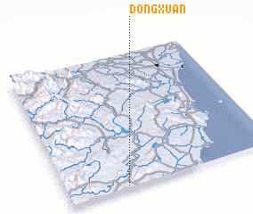 Places with similar names to Ðông Xuân, Vietnam ::
Disclaimer :: Information on this page comes without warranty of any kind |
||
|
Where is Ðông Xuân? Elevation and coordinates ::
Latitude (lat): 19°1'0"N Longitude (lon): 105°17'0"E
Elevation (approx.): 39m (map arrows pan, magnifying glasses zoom) |
||
|
Visiting Ðông Xuân? Hotel/Accommodation ::
Book a hotel in Ðông Xuân Travel Guide ::
Buy a travel guide for Vietnam rental cars ::
car rental offers GPS waypoint ::
download a GPX waypoint (PoI) of Ðông Xuân for your GPS receiver
|
||