|
search place name
|
||
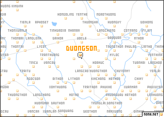
Dương Sơn (Hà Bắc, Vietnam)Dương Sơn is a town in the Hà Bắc region of Vietnam. An overview map of the region around Dương Sơn is displayed below.
regional and 3d topo map of Dương Sơn, Vietnam ::
Dương Sơn airports ::
The nearest airport is HAN - Hanoi Noibai Intl, located 37.7 km south west of Dương Sơn.
Nearby towns ::
Xóm Bèo (1.9km south) //
Yên Thôn (1.7km west) //
Cao Thượng (2.5km south east) //
Làng Cao (3.7km south) //
Ước Lễ (3.7km north) //
Hòa Mục (3.9km south east) //
Phúc Ðình (3.9km north east) //
Hương Thôn (5.1km south east) //
Lục Liễu (5.2km east) //
Hoàng Hà (5.2km east) //
Gia Thôn (5.2km east) //
Làng Lèo (5.6km north) //
Ðồng Diễn (5.6km north) //
Bằng Cục Thôn (5.5km west) //
Phúc Lễ (5.5km east) //
Ly Thôn (5.8km south) //
Nhã Nam (5.8km north) //
Chung Sơn (6.4km south east) //
Ðại Hóa (6.4km north west) //
Kim Chàng (6.5km south east) //
Hữu Trung (6.5km north east) //
Thôn Bỉ (6.5km south west) //
Ngọc Cục (6.5km south west) //
Mỹ Lộc (6.9km east) //
Trân Thượng (6.9km west) //
Ðông Thộn (7.4km south) //
Ðồn Thôn (7.1km east) //
Trung Thôn (7.1km east) //
Trại Thôn (7.6km south) //
[all distances 'as the bird flies' and approximate] 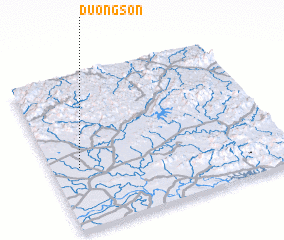 Places with similar names to Dương Sơn, Vietnam ::
Disclaimer :: Information on this page comes without warranty of any kind |
||
|
Where is Dương Sơn? Elevation and coordinates ::
Latitude (lat): 21°24'0"N Longitude (lon): 106°7'0"E
Elevation (approx.): 17m (map arrows pan, magnifying glasses zoom) |
||
|
Visiting Dương Sơn? Hotel/Accommodation ::
Book a hotel in Dương Sơn Travel Guide ::
Buy a travel guide for Vietnam rental cars ::
car rental offers GPS waypoint ::
download a GPX waypoint (PoI) of Dương Sơn for your GPS receiver
|
||