|
search place name
|
||
Giồng Săng Mã (2) (Long An, Vietnam)Giồng Săng Mã (2) is a town in the Long An region of Vietnam. An overview map of the region around Giồng Săng Mã (2) is displayed below.
regional and 3d topo map of Giồng Săng Mã (2), Vietnam ::

Giồng Săng Mã (2) airports ::
The nearest airport is SGN - Ho Chi Minh City Tansonnhat Intl, located 48.1 km east of Giồng Săng Mã (2).
Other airports nearby include PNH - Phnom-penh Phnom Penh Intl (166.9 km north west), Nearby towns ::
Ðôi Bào Họ (1.8km east) //
Ấp Mỹ Lợi (2.6km north east) //
Giồng Dinh (2.6km south west) //
Giồng Tràm Rạp Bay (3.7km south) //
Quéo Ba (3.7km north) //
Giồng Bé (5.2km north east) //
Giồng Lức (5.2km south west) //
Ðức Huệ (5.6km north) //
Phumĭ Chék (2) (5.5km west) //
Ba Thu (5.5km west) //
Mỹ Thạnh Ðông (5.8km west) //
Giồng Thô Ðịa (6.6km north east) //
Giồng Mật Cật (6.6km south east) //
Xóm Cọc Ring (6.6km north west) //
Giồng À Rác (7.3km east) //
Bình Thanh (8.2km south east) //
Ðôi Bào Voi (8.3km south west) //
Giồng Trôm (9.2km north east) //
Giồng Manh Manh (9.2km south east) //
Ấp Mỹ Thận (9.2km north east) //
Xóm Trướng Tốc (9.2km north west) //
[all distances 'as the bird flies' and approximate] 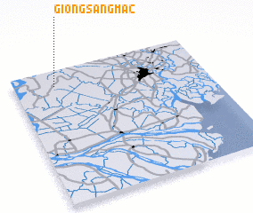 Places with similar names to Giồng Săng Mã (2), Vietnam :: Disclaimer :: Information on this page comes without warranty of any kind |
||
|
Where is Giồng Săng Mã (2)? Elevation and coordinates ::
Latitude (lat): 10°53'0"N Longitude (lon): 106°13'0"E
Elevation (approx.): 2m (map arrows pan, magnifying glasses zoom) |
||
|
Visiting Giồng Săng Mã (2)? Hotel/Accommodation ::
Book a hotel in Giồng Săng Mã (2) Travel Guide ::
Buy a travel guide for Vietnam rental cars ::
car rental offers GPS waypoint ::
download a GPX waypoint (PoI) of Giồng Săng Mã (2) for your GPS receiver
|
||