|
search place name
|
||
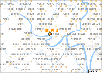
Hào Phu (Vietnam)Hào Phu is a town in Vietnam. An overview map of the region around Hào Phu is displayed below.
regional and 3d topo map of Hào Phu, Vietnam ::
Hào Phu airports ::
The nearest airport is HAN - Hanoi Noibai Intl, located 110.5 km north of Hào Phu.
Nearby towns ::
Ðô Quan (1.9km north) //
Vĩ Nhuế (1.7km east) //
Trung Dông (1.7km west) //
Thanh Khê (2.5km north east) //
Ngọc Chấn (2.5km south west) //
Phu Sa Trai (3.5km east) //
Vọng Doanh (3.9km north west) //
Yên Phúc (3.9km south west) //
Thượng Ðồng (1) (4.1km north west) //
Bạn Ðồng (4.1km north east) //
Phương Du (4.1km south west) //
Yên Khang (5.1km south west) //
Cao Bồ (5.1km north west) //
Phong An (5.1km south east) //
Phương Lèt (5.2km east) //
Yên Vân (5.6km south) //
Ninh Xá (5.6km north) //
Nghĩa Hưng (5.5km east) //
Vân Bồng (5.8km south) //
Xuân Dương (5.8km south) //
Yên Khê (5.8km south) //
Thiện Trạo (6.4km south west) //
Yên Khoái (6.4km south west) //
Phong Xuyên (6.4km north west) //
Thon Hoi (6.4km south east) //
Cát Ðằng (6.6km north west) //
Hoàng Nê (6.6km north west) //
An Lộc (6.6km north west) //
Thượng Kỳ (1) (7.0km east) //
[all distances 'as the bird flies' and approximate] 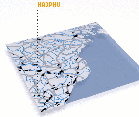 Places with similar names to Hào Phu, Vietnam ::
Disclaimer :: Information on this page comes without warranty of any kind |
||
|
Where is Hào Phu? Elevation and coordinates ::
Latitude (lat): 20°15'0"N Longitude (lon): 106°3'0"E
Elevation (approx.): 1m (map arrows pan, magnifying glasses zoom) |
||
|
Visiting Hào Phu? Hotel/Accommodation ::
Book a hotel in Hào Phu Travel Guide ::
Buy a travel guide for Vietnam rental cars ::
car rental offers GPS waypoint ::
download a GPX waypoint (PoI) of Hào Phu for your GPS receiver
|
||