|
search place name
|
||
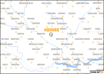
Hom Hao (Vietnam)Hom Hao is a town in Vietnam. An overview map of the region around Hom Hao is displayed below.
regional and 3d topo map of Hom Hao, Vietnam ::
Hom Hao airports ::
The nearest airport is HAN - Hanoi Noibai Intl, located 87.3 km north east of Hom Hao.
Nearby towns ::
Bản Suối Gioi (2.5km south west) //
Quy Ðức (3.7km north) //
Bản Giem (3.5km west) //
Bản Suối Bôn (4.1km south east) //
Làng Bua (2) (3.9km north east) //
Bản Suối Tia (3.9km south east) //
Bản Suối Mit (3.9km south east) //
Bo Men (4.1km north west) //
Làng Bua (1) (5.1km north east) //
Bản Chum (5.1km south west) //
Làng Bakenn (5.8km north) //
Bản Suối Ky (5.8km south) //
Bản Suối Sao (6.4km north east) //
Quan Ha (6.4km north west) //
Bai Ca (6.6km south east) //
Bản Suối Hôi (6.4km south east) //
Bản Giem Trong (6.4km south west) //
Làng Linh (6.9km east) //
Làng Sam (7.4km north) //
Làng Bui (7.2km east) //
Ho Hai (1) (7.6km south) //
Bản Jong (7.2km west) //
Cô Sam (7.2km west) //
Bản Suối Canh (7.2km west) //
Bo Cai (7.6km south) //
Tam Chat (7.6km south west) //
Làng Hit (8.2km north east) //
Bản Muc (8.2km south east) //
Oi Nọi (8.9km south east) //
[all distances 'as the bird flies' and approximate] 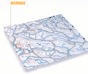
Disclaimer :: Information on this page comes without warranty of any kind |
||
|
Where is Hom Hao? Elevation and coordinates ::
Latitude (lat): 20°51'0"N Longitude (lon): 105°4'0"E
Elevation (approx.): 762m (map arrows pan, magnifying glasses zoom) |
||
|
Visiting Hom Hao? Hotel/Accommodation ::
Book a hotel in Hom Hao Travel Guide ::
Buy a travel guide for Vietnam rental cars ::
car rental offers GPS waypoint ::
download a GPX waypoint (PoI) of Hom Hao for your GPS receiver
|
||