|
search place name
|
||
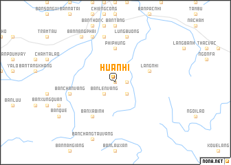
Hua Nhi (Vietnam)Hua Nhi is a town in Vietnam. An overview map of the region around Hua Nhi is displayed below.
regional and 3d topo map of Hua Nhi, Vietnam ::
Hua Nhi airports ::
The nearest airport is HAN - Hanoi Noibai Intl, located 134.9 km east of Hua Nhi.
Nearby towns ::
Bản Ðồng Ngài Nội (0.0km north) //
Bản Sí Tang (1.7km east) //
Bản Lền Vàng (2.5km south west) //
Bản Ðồng Ngài (2.5km south east) //
Phi Phung (5.6km north) //
Làng Nhi (5.5km east) //
Bản Xá Binh (6.5km south west) //
Bản Món (7.6km north) //
Bản Lương (7.6km north) //
Bản Chấn Vàng (7.1km west) //
Lung Bương (7.6km north) //
Bản Lu (8.2km north west) //
Bản Nang Phai (9.0km north west) //
[all distances 'as the bird flies' and approximate] 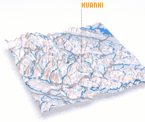 Places with similar names to Hua Nhi, Vietnam ::
Disclaimer :: Information on this page comes without warranty of any kind |
||
|
Where is Hua Nhi? Elevation and coordinates ::
Latitude (lat): 21°28'0"N Longitude (lon): 104°32'0"E
Elevation (approx.): 1156m (map arrows pan, magnifying glasses zoom) |
||
|
Visiting Hua Nhi? Hotel/Accommodation ::
Book a hotel in Hua Nhi Travel Guide ::
Buy a travel guide for Vietnam rental cars ::
car rental offers GPS waypoint ::
download a GPX waypoint (PoI) of Hua Nhi for your GPS receiver
|
||