|
search place name
|
||
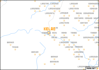
Kẻ Lan (Thanh Hóa, Vietnam)Kẻ Lan is a town in the Thanh Hóa region of Vietnam. An overview map of the region around Kẻ Lan is displayed below.
regional and 3d topo map of Kẻ Lan, Vietnam ::
Kẻ Lan airports ::
The nearest airport is HAN - Hanoi Noibai Intl, located 179.3 km north of Kẻ Lan.
Nearby towns ::
Kẻ Gi (0.0km north) //
Khê Kha (0.0km north) //
Kẻ Vu (1.7km east) //
Kẻ Bộc (1.7km west) //
Na Cốc (2.5km south east) //
Kẻ Lao (2.5km south east) //
Kẻ Mãnh (2.5km north east) //
Kẻ Quân (2) (5.1km south east) //
Ðồng San (5.2km east) //
Na Mai (5.2km east) //
Kẻ Dang (5.6km east) //
Làng Huân (6.4km south east) //
Làng Trinh (6.4km north east) //
Làng Na Tu (7.4km north) //
Làng Kẻ Trinh (7.4km north) //
Bản Cam (7.2km east) //
Làng Giang (7.6km north east) //
Trinh Lư (7.9km south east) //
Bản Na Bon (8.2km south west) //
Câm Bái (8.9km south east) //
Làng Tam (8.9km south east) //
Làng Ban (8.9km south east) //
Làng Quá (9.1km north east) //
Bản Xon (9.1km south west) //
Bản Tu (9.1km south west) //
Làng Quế Nhỏ (10.2km north east) //
[all distances 'as the bird flies' and approximate] 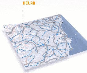 Places with similar names to Kẻ Lan, Vietnam ::
Disclaimer :: Information on this page comes without warranty of any kind |
||
|
Where is Kẻ Lan? Elevation and coordinates ::
Latitude (lat): 19°42'0"N Longitude (lon): 105°13'0"E
Elevation (approx.): 166m (map arrows pan, magnifying glasses zoom) |
||
|
Visiting Kẻ Lan? Hotel/Accommodation ::
Book a hotel in Kẻ Lan Travel Guide ::
Buy a travel guide for Vietnam rental cars ::
car rental offers GPS waypoint ::
download a GPX waypoint (PoI) of Kẻ Lan for your GPS receiver
|
||