|
search place name
|
||
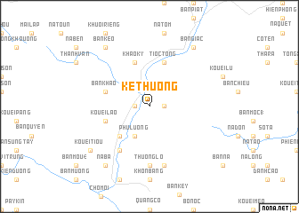
Ke Thuong (Bắc Thái, Vietnam)Ke Thuong is a town in the Bắc Thái region of Vietnam. An overview map of the region around Ke Thuong is displayed below.
regional and 3d topo map of Ke Thuong, Vietnam ::
Ke Thuong airports ::
The nearest airport is HAN - Hanoi Noibai Intl, located 84.4 km south of Ke Thuong.
Nearby towns ::
Na Pak (1.7km west) //
Na Cou (1.7km west) //
Cao Ký (1.7km east) //
Phú Lương (4.1km south west) //
Nong Hạ (5.1km south west) //
Khao Ky (5.8km north) //
Kouei Lao (5.5km west) //
Tioc Tong (5.8km north) //
Bản Khao (5.5km west) //
Bản Hat Loi (6.5km south west) //
Thuong Lo (7.4km south) //
Khon Tinh (7.6km south) //
Kouei Tiou (8.8km south west) //
Na Ba (9.0km south west) //
Bản Giac (9.0km north east) //
Bản Chi (9.0km north west) //
Bản Keo (9.0km north west) //
[all distances 'as the bird flies' and approximate] 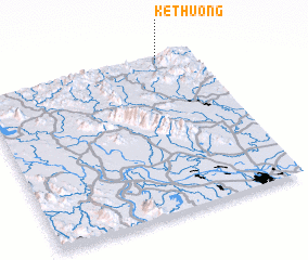 Places with similar names to Ke Thuong, Vietnam ::
// Gouthang (IN)
// Gathanga (KE)
// Kathungu (KE)
// Kithungo (KE)
// Kothoniok (UG)
// Goth Neku (PK)
// Quthing (LS)
// Cao Thượng (VN)
// Cao Thượng (VN)
// Cầu Thượng (VN)
Disclaimer :: Information on this page comes without warranty of any kind |
||
|
Where is Ke Thuong? Elevation and coordinates ::
Latitude (lat): 21°59'0"N Longitude (lon): 105°50'0"E
Elevation (approx.): 113m (map arrows pan, magnifying glasses zoom) |
||
|
Visiting Ke Thuong? Hotel/Accommodation ::
Book a hotel in Ke Thuong Travel Guide ::
Buy a travel guide for Vietnam rental cars ::
car rental offers GPS waypoint ::
download a GPX waypoint (PoI) of Ke Thuong for your GPS receiver
|
||