|
search place name
|
||
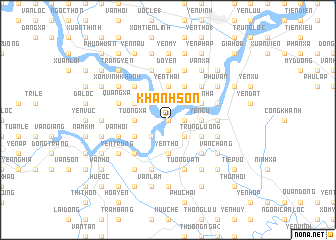
Khanh Sơn (Vietnam)Khanh Sơn is a town in Vietnam. An overview map of the region around Khanh Sơn is displayed below.
regional and 3d topo map of Khanh Sơn, Vietnam ::
Khanh Sơn airports ::
The nearest airport is SNO - Sakon Nakhon, located 220.9 km south west of Khanh Sơn.
Nearby towns ::
Hiệu Mỹ (0.0km north) //
Quang Giu (0.0km north) //
Hưng Phuc (1.8km east) //
Yên Cu (1) (2.6km north west) //
Phú Vinh (2.6km north east) //
Lộc Ðiền (2.6km north east) //
Lang Ngạn (2.6km south west) //
Yen Phúc (2.6km south east) //
An Hoa (2.6km south east) //
Chi Lam (2.6km south east) //
Yên Thái (3.7km north) //
Tương Xá (3.5km west) //
Thịnh Quả (1) (3.5km west) //
Yên Cu (3.5km east) //
Phù Thạch (3.5km east) //
Yèn Thọ (3.7km south) //
Long Xuyen (4.0km north west) //
Phố Ðồng (4.0km north west) //
Hung Nhân (4.0km north west) //
Mỹ Thôn (4.1km north east) //
Thượng Thôn (4.1km north east) //
Ru Nhon (4.1km north east) //
Thịnh Quả (2) (4.0km south west) //
Xuân Nhâ (4.0km north east) //
Quả Pham (4.0km north east) //
Trung Lương (4.0km south east) //
Phu Xa (5.1km north west) //
Tòng Sơn (5.1km north west) //
Thượng Thôn (5.1km north east) //
[all distances 'as the bird flies' and approximate] 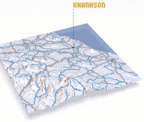
Disclaimer :: Information on this page comes without warranty of any kind |
||
|
Where is Khanh Sơn? Elevation and coordinates ::
Latitude (lat): 18°34'0"N Longitude (lon): 105°38'0"E
Elevation (approx.): 2m (map arrows pan, magnifying glasses zoom) |
||
|
Visiting Khanh Sơn? Hotel/Accommodation ::
Book a hotel in Khanh Sơn Travel Guide ::
Buy a travel guide for Vietnam rental cars ::
car rental offers GPS waypoint ::
download a GPX waypoint (PoI) of Khanh Sơn for your GPS receiver
|
||