|
search place name
|
||
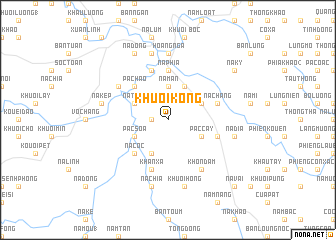
Khuổi Kòng (Cao Bằng, Vietnam)Khuổi Kòng is a town in the Cao Bằng region of Vietnam. An overview map of the region around Khuổi Kòng is displayed below.
regional and 3d topo map of Khuổi Kòng, Vietnam ::
Khuổi Kòng airports ::
The nearest airport is HAN - Hanoi Noibai Intl, located 159.9 km south of Khuổi Kòng.
Other airports nearby include NNG - Nanning Wuxu (196.0 km east), Nearby towns ::
Khuổi Giền (1.7km west) //
Nà Mẩn (3.7km north) //
Khuổi Chiêu (4.1km north east) //
Khuổi Dam (3.9km north east) //
Pác Cắy (3.9km south east) //
Keo Ngsàng (4.1km south west) //
Nà Tòng (3.9km north west) //
Pac Soa (3.9km south west) //
Pác Háo (5.0km north west) //
Nà Cốc (5.0km south west) //
Nà Phia (5.6km north) //
Nà Chang (5.5km east) //
Nà Hoàng (5.8km north) //
Khuổi Nam (5.5km east) //
Khan Xá (5.8km south) //
Nà Ðin (6.3km north west) //
Khon Ðam (6.5km south east) //
Hoàng Ngà (7.4km north) //
Na Dia (7.1km east) //
Khuổi Hòng (7.6km south) //
Nà Kep (7.1km west) //
Cao Bằng (7.6km north) //
Na Chía (7.6km south) //
Nà Dong (8.2km north west) //
Nà Kỳ (8.8km north east) //
Nà Vai (10.1km south east) //
[all distances 'as the bird flies' and approximate] 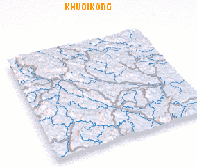 Places with similar names to Khuổi Kòng, Vietnam ::
Disclaimer :: Information on this page comes without warranty of any kind |
||
|
Where is Khuổi Kòng? Elevation and coordinates ::
Latitude (lat): 22°36'0"N Longitude (lon): 106°16'0"E
Elevation (approx.): 584m (map arrows pan, magnifying glasses zoom) |
||
|
Visiting Khuổi Kòng? Hotel/Accommodation ::
Book a hotel in Khuổi Kòng Travel Guide ::
Buy a travel guide for Vietnam rental cars ::
car rental offers GPS waypoint ::
download a GPX waypoint (PoI) of Khuổi Kòng for your GPS receiver
|
||