|
search place name
|
||
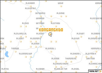
Kon Gang K'do (Vietnam)Kon Gang K'do is a town in Vietnam. An overview map of the region around Kon Gang K'do is displayed below.
regional and 3d topo map of Kon Gang K'do, Vietnam ::
Kon Gang K'do airports ::
The nearest airport is DAD - Danang Intl, located 215.2 km north of Kon Gang K'do.
Other airports nearby include NHA - Nhatrang (236.0 km south east), Nearby towns ::
Kon Gang Yeng (1.9km south) //
Plei Bang (1.9km north) //
Kon Gang (1) (2.6km south east) //
Plei Uôt (3.6km west) //
De A Kieng (3.6km west) //
Plei Thou (4.1km north east) //
De Klanh (4.0km north west) //
Plei Deup (5.2km south west) //
De Trok (1) (5.2km north west) //
Plei Ngoll (5.6km south) //
De Bơ Dran (5.6km north) //
Plei Grong (5.7km west) //
De Mang (1) (6.6km north west) //
Plei Neh (6.5km south west) //
De Tul Kơtu (7.4km north) //
De Tul Bock Rây (7.4km north) //
Plei Bơn Hol (7.4km west) //
Plei Bong (8.1km south west) //
Plei Rhe (8.2km north east) //
De Thung (1) (8.2km north west) //
Plei Khol (1) (9.2km north east) //
Plei Hol (10.3km south west) //
Plei Chup (10.3km south west) //
[all distances 'as the bird flies' and approximate] 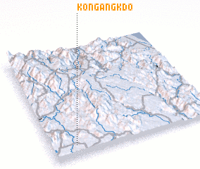 Places with similar names to Kon Gang K'do, Vietnam :: Disclaimer :: Information on this page comes without warranty of any kind |
||
|
Where is Kon Gang K'do? Elevation and coordinates ::
Latitude (lat): 14°6'0"N Longitude (lon): 108°9'0"E
Elevation (approx.): 708m (map arrows pan, magnifying glasses zoom) |
||
|
Visiting Kon Gang K'do? Hotel/Accommodation ::
Book a hotel in Kon Gang K'do Travel Guide ::
Buy a travel guide for Vietnam rental cars ::
car rental offers GPS waypoint ::
download a GPX waypoint (PoI) of Kon Gang K'do for your GPS receiver
|
||