|
search place name
|
||
Kouei Cai (Vietnam)Kouei Cai is a town in Vietnam. An overview map of the region around Kouei Cai is displayed below.
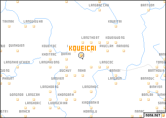
regional and 3d topo map of Kouei Cai, Vietnam ::
Kouei Cai airports ::
The nearest airport is HAN - Hanoi Noibai Intl, located 87.0 km south east of Kouei Cai.
Nearby towns ::
Dân Cao (2.5km north east) //
Kouei Khi (2.5km north west) //
Làng Chạp (2.5km south east) //
Bang Giang (3.7km north) //
Quí Khi (3.4km west) //
Na Ha (3.7km south) //
Làng Thoát (4.1km north east) //
Bản Rưng (3.9km south east) //
Cao Luong (3.9km south west) //
Làng Nhà (1) (4.1km south west) //
Làng Quán (5.1km north east) //
Dức Huy (5.1km south west) //
Phúc Lâm (5.5km east) //
Bản Khuôn Tong (5.5km east) //
Làng Cốc (5.5km east) //
Bản Chương (6.4km north east) //
Khoi Trac (6.9km west) //
Kouei Toc (7.1km west) //
Kim Quan Thượng (7.6km south) //
Làng Hán (7.6km south) //
Làng Nhà (2) (7.6km south) //
Công Lội (7.6km south) //
Làng Nghèn (7.1km west) //
Làng Phương (7.1km west) //
Ðào Viện (7.6km south west) //
Kouei Dương (7.8km north east) //
Bản Kei (7.8km south east) //
Làng Bún (8.8km south east) //
Kouei Tai (10.1km north east) //
[all distances 'as the bird flies' and approximate] 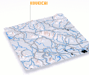 Places with similar names to Kouei Cai, Vietnam ::
Disclaimer :: Information on this page comes without warranty of any kind |
||
|
Where is Kouei Cai? Elevation and coordinates ::
Latitude (lat): 21°55'0"N Longitude (lon): 105°25'0"E
Elevation (approx.): 309m (map arrows pan, magnifying glasses zoom) |
||
|
Visiting Kouei Cai? Hotel/Accommodation ::
Book a hotel in Kouei Cai Travel Guide ::
Buy a travel guide for Vietnam rental cars ::
car rental offers GPS waypoint ::
download a GPX waypoint (PoI) of Kouei Cai for your GPS receiver
|
||