|
search place name
|
||
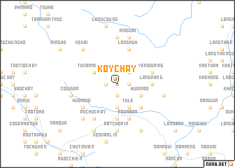
Ko Y Chay (Vietnam)Ko Y Chay is a town in Vietnam. An overview map of the region around Ko Y Chay is displayed below.
regional and 3d topo map of Ko Y Chay, Vietnam ::
Ko Y Chay airports ::
The nearest airport is HAN - Hanoi Noibai Intl, located 171.8 km south east of Ko Y Chay.
Nearby towns ::
Bản Phay (0.0km north) //
Sao Mo Phing (1.7km west) //
Bản Tong (1.9km south) //
Pu Mao Chay (1.7km east) //
Thào Chà Chải (2.5km north east) //
Bản Búng Xôm (3.7km south) //
Tu Xan Mèo Lón (3.9km north west) //
Bản Cồm (4.1km south east) //
Bản Pha (4.1km south east) //
Tú Lệ (4.1km south east) //
Huôi Pào (3.9km south east) //
Bản Chao (5.1km south east) //
Bản Xan Thai (5.6km south) //
Làng Pang (5.2km east) //
Poum Ban (5.8km south) //
Làng Muh (5.8km north) //
Ye Niou Ping (5.5km east) //
Huối Pão (6.4km south west) //
Pu Chu Chay (6.5km south west) //
Pa Tcho Pin (7.4km south) //
Làng Cung (7.4km north) //
Co Gi San (7.1km west) //
Bản Lan Lang (7.1km east) //
Ping Gai (7.6km north) //
Ké Kai (7.6km north west) //
Khan Pha (7.6km south west) //
Bản The Xãng (8.2km south west) //
Làng Tinh (8.2km south east) //
[all distances 'as the bird flies' and approximate] 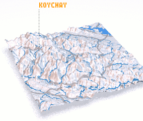 Places with similar names to Ko Y Chay, Vietnam ::
Disclaimer :: Information on this page comes without warranty of any kind |
||
|
Where is Ko Y Chay? Elevation and coordinates ::
Latitude (lat): 21°50'0"N Longitude (lon): 104°17'0"E
Elevation (approx.): 816m (map arrows pan, magnifying glasses zoom) |
||
|
Visiting Ko Y Chay? Hotel/Accommodation ::
Book a hotel in Ko Y Chay Travel Guide ::
Buy a travel guide for Vietnam rental cars ::
car rental offers GPS waypoint ::
download a GPX waypoint (PoI) of Ko Y Chay for your GPS receiver
|
||