|
search place name
|
||
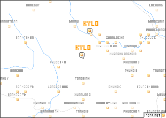
Kỳ Lô (Vietnam)Kỳ Lô is a town in Vietnam. An overview map of the region around Kỳ Lô is displayed below.
regional and 3d topo map of Kỳ Lô, Vietnam ::
Kỳ Lô airports ::
The nearest airport is NHA - Nhatrang, located 123.0 km south of Kỳ Lô.
Nearby towns ::
Xóm Dồng Xe (5.2km north east) //
Tổng Bình (5.6km south) //
Triêm Ðức (5.8km north) //
Kỳ Lộ (5.8km north) //
Dống Hội (5.8km north) //
Xuận Suối Cai (2) (5.7km east) //
Phước Tân (5.7km west) //
Long Ngãi (6.6km north east) //
Xuận Bàu Me (6.6km north east) //
Dá Mấu (7.6km north) //
Xuận Lộc Hà (8.1km north east) //
Lang Ba Bang (9.2km south west) //
Phú Hội (2) (10.3km south east) //
[all distances 'as the bird flies' and approximate] 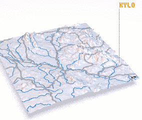 Places with similar names to Kỳ Lô, Vietnam ::
Disclaimer :: Information on this page comes without warranty of any kind |
||
|
Where is Kỳ Lô? Elevation and coordinates ::
Latitude (lat): 13°19'0"N Longitude (lon): 108°58'0"E
Elevation (approx.): 342m (map arrows pan, magnifying glasses zoom) |
||
|
Visiting Kỳ Lô? Hotel/Accommodation ::
Book a hotel in Kỳ Lô Travel Guide ::
Buy a travel guide for Vietnam rental cars ::
car rental offers GPS waypoint ::
download a GPX waypoint (PoI) of Kỳ Lô for your GPS receiver
|
||