|
search place name
|
||
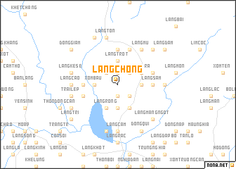
Làng Chong (Vietnam)Làng Chong is a town in Vietnam. An overview map of the region around Làng Chong is displayed below.
regional and 3d topo map of Làng Chong, Vietnam ::
Làng Chong airports ::
The nearest airport is HAN - Hanoi Noibai Intl, located 203.9 km north of Làng Chong.
Nearby towns ::
Làng Bé (1.9km north) //
Làng Nhâm (1.9km north) //
Ðồng Canh (1.9km south) //
Làng Mốc (2.5km north east) //
Làng Giừa (2.5km north west) //
Lâm La (2.5km south east) //
Làng Trót (3.7km north) //
Làng Lầm (3.5km east) //
Xóm Bàu (3.5km west) //
Làng Nga (3.7km south) //
Làng Tra (4.0km north east) //
Làng Bệt (4.1km south east) //
Làng Rồng (4.1km south west) //
Ðồng Mồ (5.2km west) //
Làng Chiềng (5.6km north) //
Làng Cuồn (5.2km east) //
Làng Sẫm (5.2km east) //
Làng Mou (5.8km north) //
Làng Chạo (5.6km east) //
Làng Vĩn (5.6km west) //
Làng Nại (5.6km west) //
Làng Mử (6.6km north east) //
Làng Giên Ðá (7.0km east) //
Làng Cam (7.4km south) //
Làng Cáo (7.0km west) //
Làng Tôn (7.6km north) //
Làng Kẽ Se (7.2km west) //
Cao Trai (7.6km south) //
Trại Lép (7.2km west) //
[all distances 'as the bird flies' and approximate] 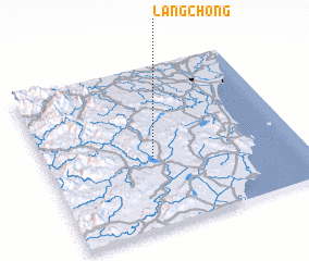 Places with similar names to Làng Chong, Vietnam ::
// Longching (IN)
// Longchong (LA)
// Lung-ching (TW)
// Lung-ching (TW)
// Lung-ch'ang (TW)
// Longsheng (CN)
// Longcheng (CN)
// Longchang (CN)
// Làng Chiêng (VN)
// Làng Chiêng (VN)
Disclaimer :: Information on this page comes without warranty of any kind |
||
|
Where is Làng Chong? Elevation and coordinates ::
Latitude (lat): 19°25'0"N Longitude (lon): 105°25'0"E
Elevation (approx.): 112m (map arrows pan, magnifying glasses zoom) |
||
|
Visiting Làng Chong? Hotel/Accommodation ::
Book a hotel in Làng Chong Travel Guide ::
Buy a travel guide for Vietnam rental cars ::
car rental offers GPS waypoint ::
download a GPX waypoint (PoI) of Làng Chong for your GPS receiver
|
||