|
search place name
|
||
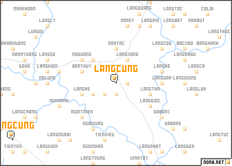
Làng Cung (Vietnam)Làng Cung is a town in Vietnam. An overview map of the region around Làng Cung is displayed below.
regional and 3d topo map of Làng Cung, Vietnam ::
Làng Cung airports ::
The nearest airport is HAN - Hanoi Noibai Intl, located 163.4 km south east of Làng Cung.
Nearby towns ::
Làng Moi (1) (1.9km south) //
Trinh Tường (1.7km east) //
Làng Quàn (1.7km east) //
Làng Khiêm (1.9km north) //
Làng Gin (2.5km south west) //
Làng Ham (3.9km south west) //
Làng Xâng (4.1km north east) //
Làng Cay (5.0km north west) //
Năm Tắc (5.6km north) //
Làng Tha (5.5km east) //
Làng Mê (5.5km west) //
Bản Thuy (5.5km west) //
Làng Giòc (6.3km south east) //
Bản Qua (6.3km north west) //
Na Duong (6.3km north west) //
Làng Dáp (6.9km east) //
Làng Mé (7.1km east) //
Ngòi Triền (7.6km south west) //
Ngòi My (8.2km south west) //
Ngòi Sung (8.2km south west) //
Dá Bàn (2) (8.8km south east) //
Làng Còu (8.8km north east) //
[all distances 'as the bird flies' and approximate] 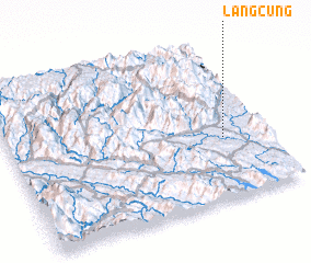 Places with similar names to Làng Cung, Vietnam ::
// Langkang (MY)
// Long Ugong (MY)
// Lengkong (ID)
// Lengkong (ID)
// Lengkong (ID)
// Longagung (ID)
// Longagung (ID)
// Lang Kong (PH)
// Lung-k'ang (TW)
// Longcong (CN)
Disclaimer :: Information on this page comes without warranty of any kind |
||
|
Where is Làng Cung? Elevation and coordinates ::
Latitude (lat): 22°23'0"N Longitude (lon): 104°50'0"E
Elevation (approx.): 94m (map arrows pan, magnifying glasses zoom) |
||
|
Visiting Làng Cung? Hotel/Accommodation ::
Book a hotel in Làng Cung Travel Guide ::
Buy a travel guide for Vietnam rental cars ::
car rental offers GPS waypoint ::
download a GPX waypoint (PoI) of Làng Cung for your GPS receiver
|
||