|
search place name
|
||
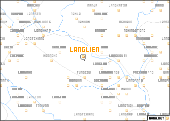
Làng Lien (Vietnam)Làng Lien is a town in Vietnam. An overview map of the region around Làng Lien is displayed below.
regional and 3d topo map of Làng Lien, Vietnam ::
Làng Lien airports ::
The nearest airport is HAN - Hanoi Noibai Intl, located 193.3 km south east of Làng Lien.
Nearby towns ::
Tung Cou (3.7km south) //
Làng Luan (3.9km south east) //
Nâm Hanh (3.9km north east) //
Tien Fang (5.0km south west) //
Làng Bat (5.1km east) //
Nậm Loun (5.5km west) //
Mong Mai (5.8km south) //
Làng Nhung (1) (6.3km south east) //
Bản Gay (6.5km north east) //
Gốc Nghè (6.5km south east) //
Koc Né (6.5km south west) //
Làng Kouei (6.9km east) //
Nậm Kôm (7.4km north) //
Hoang Ma (6.9km west) //
Ðiên Quan (7.8km south east) //
Làng Ðâu (1) (8.2km south east) //
Làng Ðâu (2) (9.0km south east) //
Làng Diệu (8.8km south east) //
Nậm So (8.8km north east) //
Làng Kim (10.1km south east) //
[all distances 'as the bird flies' and approximate] 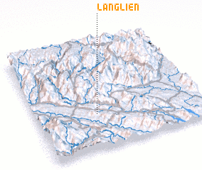 Places with similar names to Làng Lien, Vietnam ::
Disclaimer :: Information on this page comes without warranty of any kind |
||
|
Where is Làng Lien? Elevation and coordinates ::
Latitude (lat): 22°20'0"N Longitude (lon): 104°22'0"E
Elevation (approx.): 201m (map arrows pan, magnifying glasses zoom) |
||
|
Visiting Làng Lien? Hotel/Accommodation ::
Book a hotel in Làng Lien Travel Guide ::
Buy a travel guide for Vietnam rental cars ::
car rental offers GPS waypoint ::
download a GPX waypoint (PoI) of Làng Lien for your GPS receiver
|
||