|
search place name
|
||
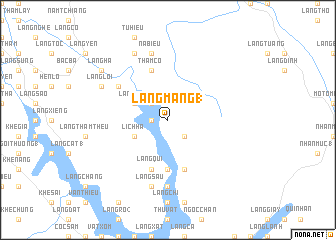
Làng Mang (1) (Vietnam)Làng Mang (1) is a town in Vietnam. An overview map of the region around Làng Mang (1) is displayed below.
regional and 3d topo map of Làng Mang (1), Vietnam ::
Làng Mang (1) airports ::
The nearest airport is HAN - Hanoi Noibai Intl, located 135.1 km south east of Làng Mang (1).
Nearby towns ::
Làng Mác (1.7km west) //
Làng Mường (2.5km north west) //
Làng Mang (2) (2.5km south east) //
Làng Táo (3.9km north west) //
Lịch Hạ (3.9km south west) //
Ðầu Dồng (5.6km south) //
Làng Giang (5.8km south) //
Thàm Cơ (5.8km north) //
Hương Giang (5.8km south) //
Làng Qui (5.8km south) //
Làng Lênh (6.3km north west) //
Ðông Tung (7.4km south) //
Nà Bieu (7.6km north) //
Làng Sầu (7.6km south) //
Cố Văn (8.2km north west) //
Làng Loi (7.8km north west) //
Làng Hạ (8.8km north west) //
[all distances 'as the bird flies' and approximate] 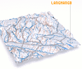 Places with similar names to Làng Mang (1), Vietnam :: Disclaimer :: Information on this page comes without warranty of any kind |
||
|
Where is Làng Mang (1)? Elevation and coordinates ::
Latitude (lat): 22°4'0"N Longitude (lon): 104°52'0"E
Elevation (approx.): 151m (map arrows pan, magnifying glasses zoom) |
||
|
Visiting Làng Mang (1)? Hotel/Accommodation ::
Book a hotel in Làng Mang (1) Travel Guide ::
Buy a travel guide for Vietnam rental cars ::
car rental offers GPS waypoint ::
download a GPX waypoint (PoI) of Làng Mang (1) for your GPS receiver
|
||