|
search place name
|
||
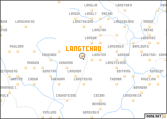
Làng Tchao (Vietnam)Làng Tchao is a town in Vietnam. An overview map of the region around Làng Tchao is displayed below.
regional and 3d topo map of Làng Tchao, Vietnam ::
Làng Tchao airports ::
The nearest airport is HAN - Hanoi Noibai Intl, located 118.3 km south east of Làng Tchao.
Nearby towns ::
Dat Ma (1.7km east) //
Làng Mò (3.4km east) //
Làng Yen (3.4km east) //
Khoun Mo (3.9km south west) //
Làng Ha (4.1km north east) //
Làng Kouang (3.9km north east) //
Làng Non (4.1km south west) //
Làng Quan (5.1km north east) //
Làng Téong (5.6km south) //
Khoun Nieou (5.5km west) //
Làng Tam (6.5km north east) //
Làng Thuong (7.4km north) //
Kouei Boc (6.9km west) //
Làng Phan (6.9km east) //
Làng Houe (7.1km east) //
Làng Tchang (7.1km east) //
Khê Hoan (7.6km south west) //
Làng Ning (8.2km north east) //
Dong Tan (7.8km south west) //
Làng Hương (8.8km north east) //
Làng Ba (8.8km south east) //
Nhân Lý (8.8km south east) //
Thôn Ba (8.8km south east) //
[all distances 'as the bird flies' and approximate] 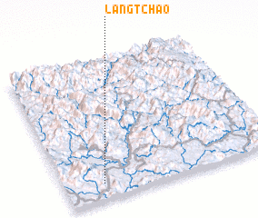 Places with similar names to Làng Tchao, Vietnam ::
Disclaimer :: Information on this page comes without warranty of any kind |
||
|
Where is Làng Tchao? Elevation and coordinates ::
Latitude (lat): 22°7'0"N Longitude (lon): 105°11'0"E
Elevation (approx.): 77m (map arrows pan, magnifying glasses zoom) |
||
|
Visiting Làng Tchao? Hotel/Accommodation ::
Book a hotel in Làng Tchao Travel Guide ::
Buy a travel guide for Vietnam rental cars ::
car rental offers GPS waypoint ::
download a GPX waypoint (PoI) of Làng Tchao for your GPS receiver
|
||