|
search place name
|
||
Lèng Sáng (Lai Châu, Vietnam)Lèng Sáng is a town in the Lai Châu region of Vietnam. An overview map of the region around Lèng Sáng is displayed below.
regional and 3d topo map of Lèng Sáng, Vietnam ::
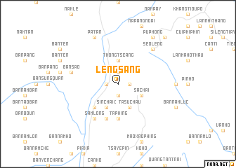
Nearby towns ::
San Tang Ngài (1.7km east) //
Ta Thàng (1.7km east) //
Sin Chải (1) (1.9km south) //
Bắc Tắn Trai (1.7km west) //
Hồng Thu (1.9km north) //
Thông Tseang (3.7km north) //
Ta Su Chầu (4.1km south east) //
Sinh Hồ (4.1km south east) //
Phan Sui Lin (4.1km south east) //
Sả Chải (3.9km south east) //
Sin Chải (2) (4.1km south west) //
Nam Lông (5.0km south west) //
Ta Phing (5.6km south) //
Lo Sủi Tổng (5.8km south) //
Sam Lông (6.5km south west) //
Khu Chù Pin (6.5km south west) //
Bản Sao (7.1km west) //
Seo Leng (7.6km north east) //
Pả Tan (8.2km north west) //
Pa Phon (9.0km north east) //
Pú Phong (9.0km north east) //
Pin Hò (10.1km north east) //
[all distances 'as the bird flies' and approximate] 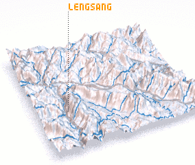 Places with similar names to Lèng Sáng, Vietnam ::
// Làng Sang (VN)
// Làng Sống (VN)
// Làng Sống (VN)
// Làng Song (VN)
// Làng Súng (VN)
// Làng Súng (VN)
// Làng Sung (VN)
// Làng Sung (VN)
// Làng Suong (VN)
// Liên Xương (VN)
Disclaimer :: Information on this page comes without warranty of any kind |
||
|
Where is Lèng Sáng? Elevation and coordinates ::
Latitude (lat): 22°24'0"N Longitude (lon): 103°13'0"E
Elevation (approx.): 1129m (map arrows pan, magnifying glasses zoom) |
||
|
Visiting Lèng Sáng? Hotel/Accommodation ::
Book a hotel in Lèng Sáng Travel Guide ::
Buy a travel guide for Vietnam rental cars ::
car rental offers GPS waypoint ::
download a GPX waypoint (PoI) of Lèng Sáng for your GPS receiver
|
||