|
search place name
|
||
Luc Nam (Hà Bắc, Vietnam)Luc Nam is a town in the Hà Bắc region of Vietnam. An overview map of the region around Luc Nam is displayed below.
regional and 3d topo map of Luc Nam, Vietnam ::

Luc Nam airports ::
The nearest airport is HAN - Hanoi Noibai Intl, located 62.1 km west of Luc Nam.
Other airports nearby include NNG - Nanning Wuxu (233.5 km north east), Nearby towns ::
Làng Gia (1.9km north) //
Hòa Phú (1.9km north) //
Cẩm Ðái (1.7km west) //
Tiên Nha (2.5km north east) //
Làng Dâng (2.5km south east) //
Làng Nguôn (3.5km east) //
Ðại Lan (3.7km north) //
Khám Lạng (3.7km south) //
Chỉ Tác (3.7km south) //
Ðồng Lạc (4.1km south east) //
Yên Phu (4.1km south west) //
Bắc Lũng (4.1km south west) //
Chu Diên (3.9km north west) //
Sen Thon (3.9km north west) //
Dông Dinh (5.1km north east) //
Trung Khuê (5.1km north west) //
Trung Thôn (5.1km south west) //
Mơ Sơn (5.2km west) //
Trại Tề (5.5km east) //
Xuân Mãn (5.8km south) //
Yên Ninh (5.5km west) //
Lão Hương (6.4km north east) //
Phương Lan (6.9km west) //
Chùa Ông (7.6km north) //
Lê Ngạc (7.2km east) //
Vân Sơn (7.2km west) //
Tồng Lệnh (7.2km east) //
Trại Bo Ao (7.6km north) //
Trại Quan (7.6km north east) //
[all distances 'as the bird flies' and approximate] 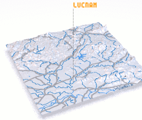 Places with similar names to Luc Nam, Vietnam ::
// Lignum (US)
// La Economía (CO)
// La Economia (VE)
// Leke Onueme (NG)
// Laoguanmiao (CN)
// Liuguanmiao (CN)
// Lakaniemi (FI)
// Lüknim (MM)
Disclaimer :: Information on this page comes without warranty of any kind |
||
|
Where is Luc Nam? Elevation and coordinates ::
Latitude (lat): 21°18'0"N Longitude (lon): 106°24'0"E
Elevation (approx.): 9m (map arrows pan, magnifying glasses zoom) |
||
|
Visiting Luc Nam? Hotel/Accommodation ::
Book a hotel in Luc Nam Travel Guide ::
Buy a travel guide for Vietnam rental cars ::
car rental offers GPS waypoint ::
download a GPX waypoint (PoI) of Luc Nam for your GPS receiver
|
||