|
search place name
|
||
Lũng Po (Cao Bằng, Vietnam)Lũng Po is a town in the Cao Bằng region of Vietnam. An overview map of the region around Lũng Po is displayed below.
regional and 3d topo map of Lũng Po, Vietnam ::

Lũng Po airports ::
The nearest airport is NNG - Nanning Wuxu, located 176.1 km east of Lũng Po.
Other airports nearby include HAN - Hanoi Noibai Intl (196.8 km south), Nearby towns ::
Giôc Nạn (0.0km north) //
Lũng Chuông (1.7km west) //
Lũng Cao (1.9km south) //
Lũng Riễn (1.9km north) //
Lũng Ỏ (1.7km east) //
Lũng Bắng (3.4km west) //
Pác Khuổi (3.7km south) //
Nà Chang (3.4km east) //
Lũng Vào Làng (3.4km east) //
Ðông Niếng (3.9km south west) //
Lũng Kít (3.9km south east) //
Nặm Thúm (3.9km south east) //
Nà Giào (2) (3.9km north east) //
Phai Pán (5.1km east) //
Làng Muổn (5.6km south) //
Rằng Rảng (5.4km west) //
Bản Sác Tẩu (6.5km south west) //
Hảo Lể (6.5km south east) //
Ðông Sí (6.5km north east) //
Lũng Cút (6.5km north east) //
Tả Than (6.5km south east) //
Trùng Khánh (6.5km south east) //
Pò Có (7.4km south) //
Giôc Giùng (6.8km east) //
Tả Pít (6.8km east) //
Khôn Sa (7.6km south) //
Bình Sa (7.1km west) //
Pác Nặm (7.1km west) //
Lũng Dảy (7.1km east) //
[all distances 'as the bird flies' and approximate] 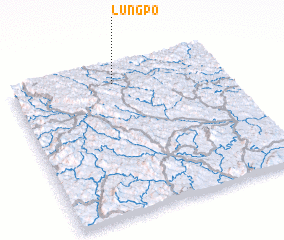 Places with similar names to Lũng Po, Vietnam ::
// Long Apu (MY)
// Long Pa (MY)
// Lankupiai (LT)
// Lunca Apei (RO)
// Lengupa (CO)
// Longpi (IN)
// Langap (ID)
// Làng Ấp Py (LA)
// Longap (PG)
// Ling-pao (TW)
Disclaimer :: Information on this page comes without warranty of any kind |
||
|
Where is Lũng Po? Elevation and coordinates ::
Latitude (lat): 22°53'0"N Longitude (lon): 106°29'0"E
Elevation (approx.): 660m (map arrows pan, magnifying glasses zoom) |
||
|
Visiting Lũng Po? Hotel/Accommodation ::
Book a hotel in Lũng Po Travel Guide ::
Buy a travel guide for Vietnam rental cars ::
car rental offers GPS waypoint ::
download a GPX waypoint (PoI) of Lũng Po for your GPS receiver
|
||