|
search place name
|
||
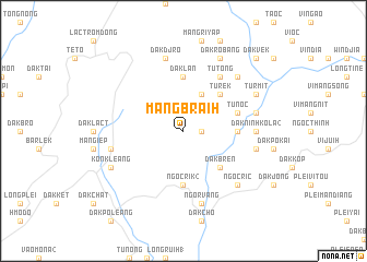
Mang Braih (Vietnam)Mang Braih is a town in Vietnam. An overview map of the region around Mang Braih is displayed below.
regional and 3d topo map of Mang Braih, Vietnam ::
Mang Braih airports ::
The nearest airport is DAD - Danang Intl, located 121.1 km north of Mang Braih.
Nearby towns ::
Dak Xao (1.8km east) //
Dak R'lan (4.1km north east) //
Dak Bren (5.2km south east) //
Dak Niu (5.2km north east) //
Turek (5.2km north east) //
Dak Ninh Kola (1) (5.4km east) //
Ngoc Rik (2) (5.6km south) //
Dak Lan (5.6km north) //
Tunoc (5.7km east) //
Tutong (6.6km north east) //
Dak Ninh Kola (2) (7.2km east) //
Dak Lack (7.4km west) //
Dak Djro (7.6km north) //
Dak Breh (7.4km east) //
Dak Klong (7.4km east) //
Ngor Vang (7.6km south) //
Ngoc Ric (7.7km south east) //
Ngor Ngiong (7.7km north east) //
Kon Kleang (8.1km south west) //
Turmit (8.1km north east) //
Dak Robang (8.2km north east) //
Dak Vek (10.3km north east) //
[all distances 'as the bird flies' and approximate] 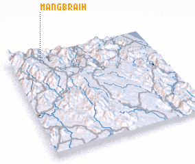 Places with similar names to Mang Braih, Vietnam ::
// Mangabory (MG)
// Mungbere (CD)
// Mangbiri (GH)
// Mene Cabra (VE)
// Mangabéra (ML)
// Mangabeira (BR)
// Mbangbéré (CM)
// Mangabeira (BR)
// Mangabeira (BR)
// Mangabeira (BR)
Disclaimer :: Information on this page comes without warranty of any kind |
||
|
Where is Mang Braih? Elevation and coordinates ::
Latitude (lat): 14°57'0"N Longitude (lon): 108°14'0"E
Elevation (approx.): 948m (map arrows pan, magnifying glasses zoom) |
||
|
Visiting Mang Braih? Hotel/Accommodation ::
Book a hotel in Mang Braih Travel Guide ::
Buy a travel guide for Vietnam rental cars ::
car rental offers GPS waypoint ::
download a GPX waypoint (PoI) of Mang Braih for your GPS receiver
|
||