|
search place name
|
||
Mang Nho (Vietnam)Mang Nho is a town in Vietnam. An overview map of the region around Mang Nho is displayed below.
regional and 3d topo map of Mang Nho, Vietnam ::

Mang Nho airports ::
The nearest airport is HAN - Hanoi Noibai Intl, located 106.5 km east of Mang Nho.
Nearby towns ::
Sui Tiom (1.7km west) //
Bản Suối Than (1.9km south) //
Khê Mè (1.7km east) //
Làng Canh (2.5km north west) //
Bản Suối Tiom (2.5km south west) //
Làng Lâu (3.7km north) //
Bản Cãi (3.9km south west) //
Bản Tioun (4.1km south east) //
Bản Suối Hang (5.1km north east) //
Bản Suối Muome (5.2km west) //
Bản Suối Den (5.6km south) //
Muong Ban (5.8km south) //
Bản Pap (1) (6.5km north west) //
Làng Yé (6.9km east) //
Bản Suối Ga (7.2km east) //
Bản Suối Lao (7.6km south east) //
Bản Pap (2) (8.2km north west) //
Xóm Nước Hoang (8.2km north east) //
Bản Suối Liem (7.8km south east) //
Doi Muong (7.8km south east) //
Bản Suối Bouè (9.0km south west) //
Cai Tiao (8.9km south east) //
[all distances 'as the bird flies' and approximate] 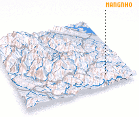 Places with similar names to Mang Nho, Vietnam ::
// Mangaonoho (NZ)
// Miāna Kanoha (PK)
// Maanganhe (MZ)
// Mingonha (MZ)
// Mungo-Naho (PG)
// Mường Nhié (VN)
// Mường Nhua (VN)
// Manguinho (BR)
// Minguinho (BR)
Disclaimer :: Information on this page comes without warranty of any kind |
||
|
Where is Mang Nho? Elevation and coordinates ::
Latitude (lat): 21°10'0"N Longitude (lon): 104°47'0"E
Elevation (approx.): 552m (map arrows pan, magnifying glasses zoom) |
||
|
Visiting Mang Nho? Hotel/Accommodation ::
Book a hotel in Mang Nho Travel Guide ::
Buy a travel guide for Vietnam rental cars ::
car rental offers GPS waypoint ::
download a GPX waypoint (PoI) of Mang Nho for your GPS receiver
|
||