|
search place name
|
||
Mèo Vạc (Vietnam)Mèo Vạc is a town in Vietnam. An overview map of the region around Mèo Vạc is displayed below.
regional and 3d topo map of Mèo Vạc, Vietnam ::

Mèo Vạc airports ::
The nearest airport is HAN - Hanoi Noibai Intl, located 221.3 km south of Mèo Vạc.
Nearby towns ::
Thè Lé Van (1.9km north) //
Mia Xu (3.7km south) //
Sung Chia (5.1km west) //
Tcha Loung (2) (5.4km east) //
Phin May (5.8km south) //
Chan Tchay (6.5km north east) //
Tat Nga (7.4km south) //
Dan Lieo (7.6km north) //
Ta Lang (2) (7.1km east) //
Chung Loung (7.1km west) //
Làng Xao Vang (7.6km north) //
Sung Loung (7.6km north west) //
Bạc Lang (9.0km south west) //
[all distances 'as the bird flies' and approximate] 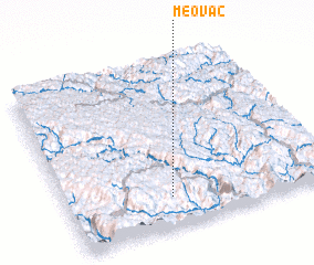 Places with similar names to Mèo Vạc, Vietnam ::
Disclaimer :: Information on this page comes without warranty of any kind |
||
|
Where is Mèo Vạc? Elevation and coordinates ::
Latitude (lat): 23°11'0"N Longitude (lon): 105°24'0"E
Elevation (approx.): 1422m (map arrows pan, magnifying glasses zoom) |
||
|
Visiting Mèo Vạc? Hotel/Accommodation ::
Book a hotel in Mèo Vạc Travel Guide ::
Buy a travel guide for Vietnam rental cars ::
car rental offers GPS waypoint ::
download a GPX waypoint (PoI) of Mèo Vạc for your GPS receiver
|
||