|
search place name
|
||
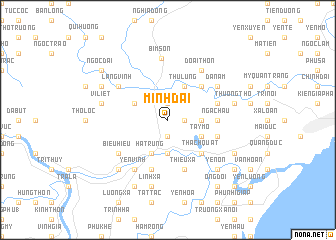
Minh Ðai (Thanh Hóa, Vietnam)Minh Ðai is a town in the Thanh Hóa region of Vietnam. An overview map of the region around Minh Ðai is displayed below.
regional and 3d topo map of Minh Ðai, Vietnam ::
Minh Ðai airports ::
The nearest airport is HAN - Hanoi Noibai Intl, located 133.5 km north of Minh Ðai.
Nearby towns ::
Yên Xá (1.9km north) //
Phúc Ðiền (1.9km north) //
Phú Thọ (1.7km east) //
Phú Nham (1.9km south) //
Ðò Lòn (1.9km south) //
Mậu Yên (3.5km east) //
Ðắc Thắng (3.7km south) //
Thu Lũng (4.1km north east) //
Tây Mỗ (3.9km south east) //
Bình Hòa (3.9km north west) //
Hà Trung (4.1km south west) //
Thanh Dan (5.1km north east) //
Chuế Cau (5.1km south east) //
Thach Quat (5.1km south east) //
Dong Yen Nam (5.1km south east) //
Nga Châu (5.2km east) //
Thạch Lễ (5.5km east) //
Thiều Xá (5.8km south) //
Ca Phàch (5.5km east) //
Ðông Phong Thương (5.8km south) //
Ða Nam (6.4km north east) //
Lãng Vịnh (6.4km north west) //
Ðoai Thôn (6.6km north east) //
Yên Vinh (6.6km south west) //
Biểu Hiệu (6.4km south west) //
Bỉm Sơn (6.9km north) //
Thượng Thọ (7.2km east) //
Vĩ Liệt (7.2km west) //
Linh Xá (7.6km south) //
[all distances 'as the bird flies' and approximate] 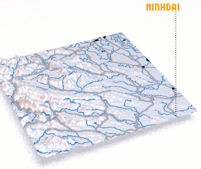 Places with similar names to Minh Ðai, Vietnam ::
Disclaimer :: Information on this page comes without warranty of any kind |
||
|
Where is Minh Ðai? Elevation and coordinates ::
Latitude (lat): 20°1'0"N Longitude (lon): 105°52'0"E
Elevation (approx.): 33m (map arrows pan, magnifying glasses zoom) |
||
|
Visiting Minh Ðai? Hotel/Accommodation ::
Book a hotel in Minh Ðai Travel Guide ::
Buy a travel guide for Vietnam rental cars ::
car rental offers GPS waypoint ::
download a GPX waypoint (PoI) of Minh Ðai for your GPS receiver
|
||