|
search place name
|
||
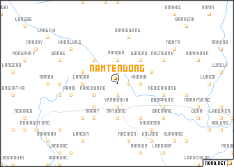
Nâm Tèn Dông (Vietnam)Nâm Tèn Dông is a town in Vietnam. An overview map of the region around Nâm Tèn Dông is displayed below.
regional and 3d topo map of Nâm Tèn Dông, Vietnam ::
Nâm Tèn Dông airports ::
The nearest airport is HAN - Hanoi Noibai Intl, located 185.8 km south east of Nâm Tèn Dông.
Nearby towns ::
Quan Nam Dộng (1.7km east) //
Hoang Nam Dông (1.9km south) //
Lông Chuận (1.9km north) //
Yên Bình Xã (3.7km south) //
Na Lúng (3.7km south) //
Nàm Qua (3.7km north) //
Nà Mèo (3.7km north) //
Khôi Ma (3.4km east) //
Nàm Chuóng (3.9km south west) //
Làng Cao (2) (5.0km south west) //
Làng Nhà Nghĩa (5.0km north west) //
Dong Pu (5.0km north east) //
Na Tương (5.6km south) //
Làng An (5.1km west) //
Nàm Ngõa Dộng (5.5km east) //
Làng Viêt (5.5km west) //
Nà Nay (6.5km south west) //
Khau Then (6.5km south east) //
Nà Môi (7.1km west) //
Nàm Ké Dông (7.6km north) //
Ngòi Cái Dộng (7.1km east) //
Làng Cao (1) (7.6km south west) //
Bao Phung (7.8km south east) //
Pâc Ngơm (1) (7.8km north east) //
Khôn Lùng (8.8km north west) //
Khuổi Sôm (9.0km south east) //
Bac Nàng (8.8km south east) //
[all distances 'as the bird flies' and approximate] 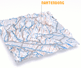 Places with similar names to Nâm Tèn Dông, Vietnam :: Disclaimer :: Information on this page comes without warranty of any kind |
||
|
Where is Nâm Tèn Dông? Elevation and coordinates ::
Latitude (lat): 22°27'0"N Longitude (lon): 104°35'0"E
Elevation (approx.): 227m (map arrows pan, magnifying glasses zoom) |
||
|
Visiting Nâm Tèn Dông? Hotel/Accommodation ::
Book a hotel in Nâm Tèn Dông Travel Guide ::
Buy a travel guide for Vietnam rental cars ::
car rental offers GPS waypoint ::
download a GPX waypoint (PoI) of Nâm Tèn Dông for your GPS receiver
|
||