|
search place name
|
||
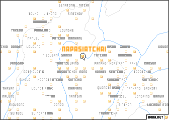
Na Pa Sia Tchai (Vietnam)Na Pa Sia Tchai is a town in Vietnam. An overview map of the region around Na Pa Sia Tchai is displayed below.
regional and 3d topo map of Na Pa Sia Tchai, Vietnam ::
Na Pa Sia Tchai airports ::
The nearest airport is HAN - Hanoi Noibai Intl, located 230.7 km south east of Na Pa Sia Tchai.
Nearby towns ::
Kuong Bong (1.7km west) //
Coc Pouc (1.9km south) //
Pan Tsin (2.5km south west) //
Sin Tchang (2.5km south east) //
San Kia (3.4km west) //
Na Pa (3.7km south) //
Ta Tchai (3.4km east) //
Si Ma Kai (3.4km east) //
Bản Me (4.1km south west) //
Nam Hang (4.1km north west) //
Thao Tzeu Ping (3.9km south west) //
Tam Tao (3.9km south west) //
Chang Man Ten (3.9km south east) //
Pan Pho (3.9km south east) //
Hia Man Ten (3.9km south east) //
Ho Sao Tchai (5.0km south west) //
Man Mei (5.0km south east) //
Long Phong (5.1km east) //
Sin Tchai (5.8km south) //
Thai Giang Tchai (5.5km west) //
Yao In San (5.5km east) //
Na Kang (5.5km east) //
Keou Hoi (6.5km north west) //
Loung He (6.5km north west) //
Pa Tchia (6.3km north west) //
Com Mao (6.3km north west) //
Nieou San (6.8km west) //
Loung Thang (7.1km west) //
Kha Fang (7.6km south) //
[all distances 'as the bird flies' and approximate] 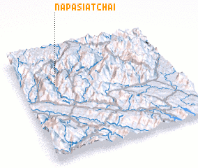 Places with similar names to Na Pa Sia Tchai, Vietnam :: Disclaimer :: Information on this page comes without warranty of any kind |
||
|
Where is Na Pa Sia Tchai? Elevation and coordinates ::
Latitude (lat): 22°42'0"N Longitude (lon): 104°14'0"E
Elevation (approx.): 378m (map arrows pan, magnifying glasses zoom) |
||
|
Visiting Na Pa Sia Tchai? Hotel/Accommodation ::
Book a hotel in Na Pa Sia Tchai Travel Guide ::
Buy a travel guide for Vietnam rental cars ::
car rental offers GPS waypoint ::
download a GPX waypoint (PoI) of Na Pa Sia Tchai for your GPS receiver
|
||