|
search place name
|
||
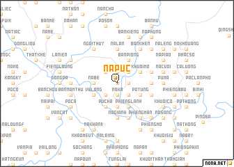
Na Puc (Lạng Sơn, Vietnam)Na Puc is a town in the Lạng Sơn region of Vietnam. An overview map of the region around Na Puc is displayed below.
regional and 3d topo map of Na Puc, Vietnam ::
Na Puc airports ::
The nearest airport is HAN - Hanoi Noibai Intl, located 137.9 km south west of Na Puc.
Other airports nearby include NNG - Nanning Wuxu (168.8 km east), Nearby towns ::
Na Ly (0.0km north) //
Khan Nga (1.9km south) //
Na Ka (1.9km south) //
Thang Lin (1.7km east) //
Siên Ky (1.9km north) //
Bản Top (2.5km south west) //
Na Như (2.5km south east) //
Kouei Kin (2.5km north west) //
Siên Chăng (2.5km north east) //
Bản Ven (2.5km north east) //
Po Soc (3.7km south) //
Bản Pian (3.4km west) //
Na Be (3.4km west) //
Pu Cha (4.1km south west) //
Bản Toung (4.1km south west) //
Vũ Lăng (3.9km south west) //
Bản Bon (3.9km south west) //
Phiêng Lanh (4.1km south east) //
Na Po (2) (4.1km south east) //
Po Tung (3.9km south east) //
Bản Phành (3.9km south east) //
Khuôi Siach (3.9km south east) //
Khuôi Mo (3.9km north east) //
Bản Piong (4.1km north east) //
Na Lan (5.6km north) //
Bản Gianh (5.1km east) //
Khoui My (5.6km north) //
Bản Sao (5.6km south) //
Na Gianh (5.6km south) //
[all distances 'as the bird flies' and approximate] 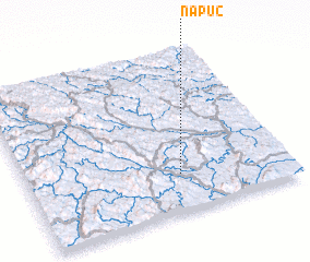 Places with similar names to Na Puc, Vietnam ::
Disclaimer :: Information on this page comes without warranty of any kind |
||
|
Where is Na Puc? Elevation and coordinates ::
Latitude (lat): 22°14'0"N Longitude (lon): 106°35'0"E
Elevation (approx.): 180m (map arrows pan, magnifying glasses zoom) |
||
|
Visiting Na Puc? Hotel/Accommodation ::
Book a hotel in Na Puc Travel Guide ::
Buy a travel guide for Vietnam rental cars ::
car rental offers GPS waypoint ::
download a GPX waypoint (PoI) of Na Puc for your GPS receiver
|
||