|
search place name
|
||
Pá Mu (Sơn La, Vietnam)Pá Mu is a town in the Sơn La region of Vietnam. An overview map of the region around Pá Mu is displayed below.
regional and 3d topo map of Pá Mu, Vietnam ::

Pá Mu airports ::
The nearest airport is HAN - Hanoi Noibai Intl, located 198.8 km east of Pá Mu.
Other airports nearby include LPQ - Luang Prabang Luang Phabang Intl (256.1 km south west), Nearby towns ::
Mông Luông (0.0km north) //
Mông Nọi (1.7km east) //
Bản Khum Khoang (1.9km south) //
Bản Cô Khết (1.9km south) //
Bản Sa (2.5km north west) //
Hin Hon (2.5km north west) //
Bản Mống (2.5km south east) //
Bản Lốm (3.7km north) //
Pá Ban (3.7km north) //
Bản Ô Po (4.1km north east) //
Bản Nôm (4.1km north west) //
Chà Lào (3.9km south east) //
Mường Khiêng (3.9km south west) //
Co Phường (3.9km south west) //
Sao Va (4.1km south west) //
Co Khiết (5.1km south east) //
Bản Hốc (5.1km south east) //
Bản Sảu (5.1km south west) //
Bản Pục (5.1km south west) //
Bản Mang (5.2km west) //
Bản Bôn (3) (5.6km south) //
Bản Nông Quang (5.6km north) //
Pá Bát (5.5km west) //
Bản Kia (5.5km west) //
Bản Tát (5.8km south) //
Liệp Tè (5.8km south) //
Bản Ðứa (5.8km south) //
Bản Bản (5.8km north) //
Bản Lân (2) (5.5km east) //
[all distances 'as the bird flies' and approximate] 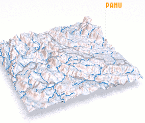 Places with similar names to Pá Mu, Vietnam ::
Disclaimer :: Information on this page comes without warranty of any kind |
||
|
Where is Pá Mu? Elevation and coordinates ::
Latitude (lat): 21°31'0"N Longitude (lon): 103°55'0"E
Elevation (approx.): 443m (map arrows pan, magnifying glasses zoom) |
||
|
Visiting Pá Mu? Hotel/Accommodation ::
Book a hotel in Pá Mu Travel Guide ::
Buy a travel guide for Vietnam rental cars ::
car rental offers GPS waypoint ::
download a GPX waypoint (PoI) of Pá Mu for your GPS receiver
|
||