|
search place name
|
||
Pho Chà (Lai Châu, Vietnam)Pho Chà is a town in the Lai Châu region of Vietnam. An overview map of the region around Pho Chà is displayed below.
regional and 3d topo map of Pho Chà, Vietnam ::
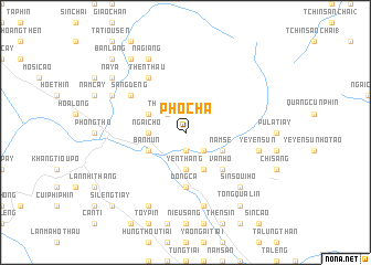
Nearby towns ::
Bản Mao (1.9km south) //
Khon To (2.5km south east) //
Then Thầu (2.5km north west) //
Ngài Chồ (3.4km west) //
Yen Thang (3.7km south) //
Bản Mứn (3.9km south west) //
San Gì (3.9km north west) //
Ma Lú Thang (4.1km south east) //
Nam Se (3.9km south east) //
Van Hô (5.0km south east) //
Dong Ca (5.6km south) //
Thèn Thầu (6.5km north west) //
Sàng Dêng (6.3km north west) //
Teu Tao Hò (7.6km south) //
Ye Yen Sun (7.1km east) //
Sin Soui Hô (7.6km south east) //
Ngai Chò (8.2km south west) //
Na Vang (7.8km north west) //
Na Giang (8.2km north west) //
Tong Qua Lin (9.0km south east) //
Na Ya (8.8km north west) //
Na Cúng (9.0km north west) //
Si Leng Tiay (10.1km south west) //
Bản Lang (10.1km north west) //
[all distances 'as the bird flies' and approximate] 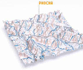 Places with similar names to Pho Chà, Vietnam ::
Disclaimer :: Information on this page comes without warranty of any kind |
||
|
Where is Pho Chà? Elevation and coordinates ::
Latitude (lat): 22°32'0"N Longitude (lon): 103°26'0"E
Elevation (approx.): 968m (map arrows pan, magnifying glasses zoom) |
||
|
Visiting Pho Chà? Hotel/Accommodation ::
Book a hotel in Pho Chà Travel Guide ::
Buy a travel guide for Vietnam rental cars ::
car rental offers GPS waypoint ::
download a GPX waypoint (PoI) of Pho Chà for your GPS receiver
|
||