|
search place name
|
||
Phục Lễ (Hải Phòng, Vietnam)Phục Lễ is a town in the Hải Phòng region of Vietnam. An overview map of the region around Phục Lễ is displayed below.
regional and 3d topo map of Phục Lễ, Vietnam ::

Phục Lễ airports ::
The nearest airport is HAN - Hanoi Noibai Intl, located 102.5 km west of Phục Lễ.
Other airports nearby include NNG - Nanning Wuxu (237.0 km north east), Nearby towns ::
My Sơn (1.2km west) //
Ðoan Lễ (1.2km west) //
My Dong (1.2km west) //
Phả Lễ (2.0km south) //
Tuy Lạc (2.9km west) //
Hà Tây (2.9km west) //
Khuông Lư (2.9km west) //
Tràng Kinh (3.7km north) //
Lập Lễ (3.8km south) //
Àn Lữ (5.1km west) //
Giã Ðức (5.5km north) //
Port Redon (5.9km north) //
Quảng Yên (5.7km east) //
Hưng Học (5.8km south east) //
Ðồng Cốc (6.0km east) //
Ðiến Công (6.6km north east) //
Lương Kê (6.4km west) //
Hà Phu (6.7km west) //
Thường Son (6.7km west) //
Yên Ðông (6.8km south east) //
Yên Hưng (7.0km east) //
Hữu Quan (7.3km south west) //
Hải Yền (7.3km south east) //
Dưỗng Dông (7.4km north west) //
Lỏi Ðượng (7.4km south west) //
Tả Quan (7.4km south west) //
Tân Dương (7.6km south west) //
Binh Hai (8.0km south) //
Thượng Ðoạn (8.0km south) //
[all distances 'as the bird flies' and approximate] 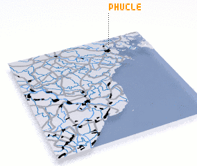 Places with similar names to Phục Lễ, Vietnam ::
Disclaimer :: Information on this page comes without warranty of any kind |
||
|
Where is Phục Lễ? Elevation and coordinates ::
Latitude (lat): 20°56'2"N Longitude (lon): 106°44'42"E
Elevation (approx.): 4m (map arrows pan, magnifying glasses zoom) |
||
|
Visiting Phục Lễ? Hotel/Accommodation ::
Book a hotel in Phục Lễ Travel Guide ::
Buy a travel guide for Vietnam rental cars ::
car rental offers GPS waypoint ::
download a GPX waypoint (PoI) of Phục Lễ for your GPS receiver
|
||