|
search place name
|
||
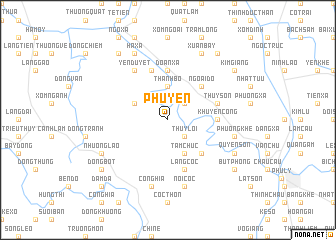
Phú Yên (Vietnam)Phú Yên is a town in Vietnam. An overview map of the region around Phú Yên is displayed below.
regional and 3d topo map of Phú Yên, Vietnam ::
Phú Yên airports ::
The nearest airport is HAN - Hanoi Noibai Intl, located 68.8 km north of Phú Yên.
Nearby towns ::
Hưu Vĩnh (2.5km north east) //
Thụy Lôi (2.5km south east) //
Dốc Tín (3.7km north) //
Bài Lâm (3.7km north) //
Thành Bồ (3.7km north) //
Ðục Khê (3.9km north west) //
Tam Chức (4.1km south east) //
Ngoại Ðộ (5.1km north east) //
Khả Phong (5.1km south east) //
Ðoàn Xá (5.6km north) //
Khuyến Công (5.2km east) //
Thụy Sơn (5.5km east) //
Kim Bôi (5.8km north) //
Làng Cốc (5.8km south) //
Yên Duyệt (6.6km north west) //
Phương Khê (7.2km east) //
Cô Nghĩa (7.6km south) //
Nội Cốc (7.6km south) //
Hà Xá (8.2km north west) //
Nhượng Lão (7.9km south west) //
Quyển Sơn (7.9km south east) //
Làng Rĩ (7.9km south west) //
Xuân Bay (8.2km north east) //
An Ðà (9.1km north west) //
Kim Giang (8.9km north east) //
Ðào Xá (8.9km north east) //
Quan Tự (9.1km north east) //
Bút Phong (8.9km south east) //
Bến Chùa (8.9km south west) //
[all distances 'as the bird flies' and approximate] 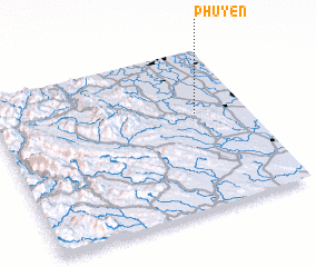 Places with similar names to Phú Yên, Vietnam ::
Disclaimer :: Information on this page comes without warranty of any kind |
||
|
Where is Phú Yên? Elevation and coordinates ::
Latitude (lat): 20°36'0"N Longitude (lon): 105°48'0"E
Elevation (approx.): 9m (map arrows pan, magnifying glasses zoom) |
||
|
Visiting Phú Yên? Hotel/Accommodation ::
Book a hotel in Phú Yên Travel Guide ::
Buy a travel guide for Vietnam rental cars ::
car rental offers GPS waypoint ::
download a GPX waypoint (PoI) of Phú Yên for your GPS receiver
|
||