|
search place name
|
||
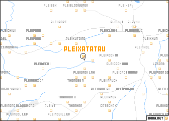
Plei Xat Atau (Vietnam)Plei Xat Atau is a town in Vietnam. An overview map of the region around Plei Xat Atau is displayed below.
regional and 3d topo map of Plei Xat Atau, Vietnam ::
Plei Xat Atau airports ::
The nearest airport is NHA - Nhatrang, located 233.6 km south east of Plei Xat Atau.
Nearby towns ::
Plei Poô Jal (1.8km east) //
Plei Poô Gròng (1.9km south) //
Plei Gao Klăh (3.7km south) //
Pleikù Tông (4.1km north west) //
Plei Gao Gêng (1) (4.1km south east) //
Plei Gao Klăh (4.1km south west) //
Plei Poô Xoi (5.4km east) //
Catecka (1) (5.6km south) //
Thông Bên (5.8km south) //
Plei Blang Yam (1) (6.5km north west) //
Plei Gao Chuang (6.5km south east) //
Plei Gao Mônu (7.4km east) //
Plei Klah (1) (7.7km north east) //
Plei Blang (4) (7.7km north east) //
Plei Ia Puch (7.7km south east) //
Plei Bau Can (8.2km south east) //
Bảo Ðức (1) (8.1km north west) //
Plei Ia Orê (9.2km north west) //
Plei Brôch (1) (9.2km north west) //
Plei Brêng (10.3km north east) //
Plei Jut (10.3km north east) //
[all distances 'as the bird flies' and approximate] 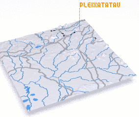 Places with similar names to Plei Xat Atau, Vietnam :: Disclaimer :: Information on this page comes without warranty of any kind |
||
|
Where is Plei Xat Atau? Elevation and coordinates ::
Latitude (lat): 13°55'0"N Longitude (lon): 107°54'0"E
Elevation (approx.): 634m (map arrows pan, magnifying glasses zoom) |
||
|
Visiting Plei Xat Atau? Hotel/Accommodation ::
Book a hotel in Plei Xat Atau Travel Guide ::
Buy a travel guide for Vietnam rental cars ::
car rental offers GPS waypoint ::
download a GPX waypoint (PoI) of Plei Xat Atau for your GPS receiver
|
||