|
search place name
|
||
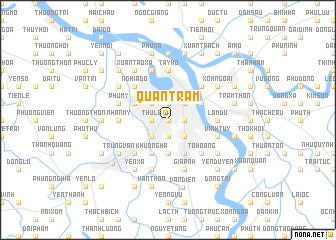
Quan Tram (Vietnam)Quan Tram is a town in Vietnam. An overview map of the region around Quan Tram is displayed below.
regional and 3d topo map of Quan Tram, Vietnam ::
Quan Tram airports ::
The nearest airport is HAN - Hanoi Noibai Intl, located 22.8 km north of Quan Tram.
Nearby towns ::
Mỹ Ðúc (0.0km north) //
Làng Mie (0.0km north) //
Thanh Giam (0.0km north) //
Linh Quang (0.0km north) //
Hoang Cau (0.0km north) //
Văn Chương (0.0km north) //
Thịnh Hào (0.0km north) //
Quan Tho (0.0km north) //
Hao Nam (1.9km north) //
Ngọc Hà (1.9km north) //
Yên Phụ (1.9km north) //
Hữu Tiệp (1.9km north) //
Giảng Vũ (1.7km west) //
Thủ Lệ (1.7km west) //
Yên Lãng (1.7km west) //
Xóm Trong (1.7km east) //
Ha Trai (1.9km south) //
Kim Liên (1.9km south) //
Nam Ðồng (1.9km south) //
Trung Tự (1.9km south) //
Thai Hà Ap (1.9km south) //
Trung Phụng (1.9km south) //
Ván Ho (1.9km south) //
Kim Mã (2.5km north west) //
Vĩnh Phúc (2.5km north west) //
Hồ Khẩu (2.5km north west) //
Ðại Yên (2.5km north west) //
Liễu Giai (2.5km north west) //
Thụy Khuê (2.5km north west) //
[all distances 'as the bird flies' and approximate] 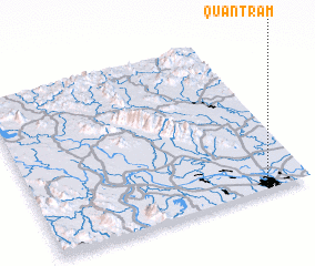 Places with similar names to Quan Tram, Vietnam ::
Disclaimer :: Information on this page comes without warranty of any kind |
||
|
Where is Quan Tram? Elevation and coordinates ::
Latitude (lat): 21°1'0"N Longitude (lon): 105°50'0"E
Elevation (approx.): 14m (map arrows pan, magnifying glasses zoom) |
||
|
Visiting Quan Tram? Hotel/Accommodation ::
Book a hotel in Quan Tram Travel Guide ::
Buy a travel guide for Vietnam rental cars ::
car rental offers GPS waypoint ::
download a GPX waypoint (PoI) of Quan Tram for your GPS receiver
|
||