|
search place name
|
||
Srốc Con Trăng (Tây Ninh, Vietnam)Srốc Con Trăng is a town in the Tây Ninh region of Vietnam. An overview map of the region around Srốc Con Trăng is displayed below.
regional and 3d topo map of Srốc Con Trăng, Vietnam ::

Srốc Con Trăng airports ::
The nearest airport is SGN - Ho Chi Minh City Tansonnhat Intl, located 93.2 km south of Srốc Con Trăng.
Other airports nearby include PNH - Phnom-penh Phnom Penh Intl (173.6 km west), Nearby towns ::
Srốc Chrum (2.6km south west) //
Srok Cay Son (2.6km south east) //
Phum Bavèng (5.4km east) //
Véal Bavèng (5.8km east) //
Srốc Tà Tê (5.8km south) //
Phum Cheâm Thoum (5.8km east) //
Srốc Tâm (7.3km west) //
Tà Ðưng (9.1km south west) //
Phumĭ Satum (9.2km north west) //
Ấp Soai Kong (9.2km north east) //
Suối Cụt (10.4km south west) //
[all distances 'as the bird flies' and approximate] 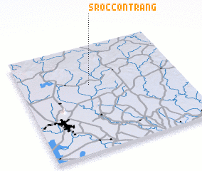 Places with similar names to Srốc Con Trăng, Vietnam :: Disclaimer :: Information on this page comes without warranty of any kind |
||
|
Where is Srốc Con Trăng? Elevation and coordinates ::
Latitude (lat): 11°38'0"N Longitude (lon): 106°26'0"E
Elevation (approx.): 57m (map arrows pan, magnifying glasses zoom) |
||
|
Visiting Srốc Con Trăng? Hotel/Accommodation ::
Book a hotel in Srốc Con Trăng Travel Guide ::
Buy a travel guide for Vietnam rental cars ::
car rental offers GPS waypoint ::
download a GPX waypoint (PoI) of Srốc Con Trăng for your GPS receiver
|
||