|
search place name
|
||
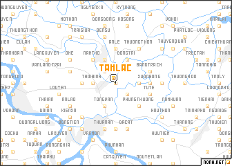
Tam Lạc (Thái Bình, Vietnam)Tam Lạc is a town in the Thái Bình region of Vietnam. An overview map of the region around Tam Lạc is displayed below.
regional and 3d topo map of Tam Lạc, Vietnam ::
Tam Lạc airports ::
The nearest airport is HAN - Hanoi Noibai Intl, located 103.4 km north west of Tam Lạc.
Nearby towns ::
Ðông Tru (0.0km north) //
Thượng Cầm (2.5km south east) //
Niệm Hạ (2.5km south east) //
Sa Cai (2.5km north west) //
Lại Trì (3.5km east) //
Nhàn Thanh (3.5km west) //
Thái Bình (3.5km west) //
Ðông Trì (4.1km north east) //
Tống Văn (4.1km south west) //
Cầu Nhân (4.1km north west) //
Phụng Thượng (5.1km south east) //
Nam Thọ (5.1km north west) //
Xuân Bảng (5.2km east) //
Ðại Hội (5.2km west) //
An Lê (5.6km north) //
Tử Tế (5.5km east) //
Bằng Trạch (5.5km east) //
Thượng Thôn (6.6km north east) //
Tam Phương (6.6km north east) //
Quân Hành (6.9km east) //
Ðông Nhuế (7.4km south) //
Ðông Vinh (7.4km south) //
Ða Cát (7.6km south) //
Thuận An (7.6km south) //
Ðại Hội (7.2km west) //
Bên Sư (7.6km north) //
Cổ Việt (7.6km south west) //
An Lão (7.9km south west) //
O Mễ (7.9km north west) //
[all distances 'as the bird flies' and approximate] 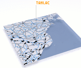 Places with similar names to Tam Lạc, Vietnam ::
Disclaimer :: Information on this page comes without warranty of any kind |
||
|
Where is Tam Lạc? Elevation and coordinates ::
Latitude (lat): 20°27'0"N Longitude (lon): 106°22'0"E
Elevation (approx.): 3m (map arrows pan, magnifying glasses zoom) |
||
|
Visiting Tam Lạc? Hotel/Accommodation ::
Book a hotel in Tam Lạc Travel Guide ::
Buy a travel guide for Vietnam rental cars ::
car rental offers GPS waypoint ::
download a GPX waypoint (PoI) of Tam Lạc for your GPS receiver
|
||