|
search place name
|
||
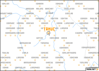
Tâm Uc (Vĩnh Phú, Vietnam)Tâm Uc is a town in the Vĩnh Phú region of Vietnam. An overview map of the region around Tâm Uc is displayed below.
regional and 3d topo map of Tâm Uc, Vietnam ::
Tâm Uc airports ::
The nearest airport is HAN - Hanoi Noibai Intl, located 73.0 km east of Tâm Uc.
Nearby towns ::
Cự Bành (1.7km east) //
Làng Mât (1.9km north) //
Xóm Vung (2.5km north east) //
Xóm Cửa He (2.5km south east) //
Xóm Niêm (2.5km north west) //
Làng Dang (3.7km south) //
Xóm Kên (4.1km north west) //
Tong Phu (4.1km south west) //
Xóm Can (3.9km north west) //
Dat Côi (3.9km south west) //
Xóm Ma (5.1km north east) //
Xóm Bông (5.1km north west) //
Xóm Trang (5.6km north) //
Xóm Trai (5.8km north) //
Cự Bành (5.8km north) //
Xóm Dồng Giè (5.8km south) //
Làng Ria (5.5km east) //
Làng Lâng (5.8km north) //
Xóm Xê (5.5km east) //
Hương Cần (6.4km south east) //
Xóm Manh (6.5km north west) //
Ðịch Quả (7.4km north) //
Xóm Gioc (7.6km south) //
Xóm Tẩm (7.6km north east) //
Xóm Nhắn (2) (7.6km south east) //
Lũng Chằn (7.8km north east) //
Xóm Cân (7.8km south east) //
Bui Lua (7.8km north west) //
Xóm Chim (7.8km north west) //
[all distances 'as the bird flies' and approximate] 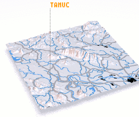 Places with similar names to Tâm Uc, Vietnam ::
Disclaimer :: Information on this page comes without warranty of any kind |
||
|
Where is Tâm Uc? Elevation and coordinates ::
Latitude (lat): 21°6'0"N Longitude (lon): 105°7'0"E
Elevation (approx.): 95m (map arrows pan, magnifying glasses zoom) |
||
|
Visiting Tâm Uc? Hotel/Accommodation ::
Book a hotel in Tâm Uc Travel Guide ::
Buy a travel guide for Vietnam rental cars ::
car rental offers GPS waypoint ::
download a GPX waypoint (PoI) of Tâm Uc for your GPS receiver
|
||