|
search place name
|
||
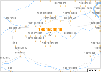
Thôn Sơn Nam (Vietnam)Thôn Sơn Nam is a town in Vietnam. An overview map of the region around Thôn Sơn Nam is displayed below.
regional and 3d topo map of Thôn Sơn Nam, Vietnam ::
Thôn Sơn Nam airports ::
The nearest airport is DAD - Danang Intl, located 151.6 km south east of Thôn Sơn Nam.
Other airports nearby include PKZ - Pakse (220.5 km south west), Nearby towns ::
Thôn Ðốc Kỉnh (1.8km west) //
Thôn Mai Lộc (1.9km south) //
Thôn Bảng Sơn (1.8km east) //
Thôn Hà Xá (2.6km south west) //
Thôn Mai Ðàm (2.6km south west) //
Thôn Nghỉa Phong (3.5km west) //
Thôn Thiết Tràng (3.7km south) //
Dinh Ðiền Xoa (4.1km south west) //
Thôn Lộc An (4.0km south west) //
Thôn An Thái Thương (5.1km north west) //
Thôn Miên Hoan (5.3km west) //
Thôn Tân Ðịnh (5.6km north) //
Thôn Quật Xá (5.8km north) //
Thôn Thương Nghỉa (5.6km west) //
Thôn Thiên Xuân (6.5km north west) //
Thôn Nghĩa Hi (6.6km north east) //
Thôn Hưng Cát (7.1km west) //
Xóm Rào Vịnh (7.1km east) //
Thôn Ba Thung (7.4km north) //
Cam Lộ (7.4km north) //
Thôn Kim Ðâu Bình (7.6km north) //
Thôn Cam Lộ (7.6km north) //
Thôn Mọc Ðức (9.0km north east) //
Thôn Tam Lang (10.3km north east) //
[all distances 'as the bird flies' and approximate] 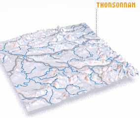 Places with similar names to Thôn Sơn Nam, Vietnam :: Disclaimer :: Information on this page comes without warranty of any kind |
||
|
Where is Thôn Sơn Nam? Elevation and coordinates ::
Latitude (lat): 16°45'0"N Longitude (lon): 106°59'0"E
Elevation (approx.): 100m (map arrows pan, magnifying glasses zoom) |
||
|
Visiting Thôn Sơn Nam? Hotel/Accommodation ::
Book a hotel in Thôn Sơn Nam Travel Guide ::
Buy a travel guide for Vietnam rental cars ::
car rental offers GPS waypoint ::
download a GPX waypoint (PoI) of Thôn Sơn Nam for your GPS receiver
|
||