|
search place name
|
||
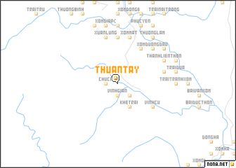
Thuận Tây (Vietnam)Thuận Tây is a town in Vietnam. An overview map of the region around Thuận Tây is displayed below.
regional and 3d topo map of Thuận Tây, Vietnam ::
Thuận Tây airports ::
The nearest airport is SNO - Sakon Nakhon, located 194.5 km south west of Thuận Tây.
Other airports nearby include ZVK - Savannakhet (196.3 km south west), Nearby towns ::
Vinh Gian (1.9km south) //
Chúc A (1.8km west) //
Chúc A (2.6km south east) //
Khe Trại (4.1km south east) //
Khe Xu (6.5km south east) //
Mụ Ðô (6.5km south east) //
Vinh Cu (6.5km south east) //
Ðộng Trì Thôn (6.6km north east) //
Ðông Bái (7.4km north) //
Xuân Lung (7.6km north) //
Cồn Hương (7.6km north) //
Ðô Khê (7.6km north) //
Phúc Hội (7.3km east) //
Vĩnh Ðại (7.6km north) //
Xóm Chùa (7.6km north) //
Xóm Mật (7.6km north) //
Xóm Ðương Ðâu (7.7km north east) //
Cần Hơi Thôn (7.7km north east) //
Thanh Liên Thôn (8.0km north east) //
Thượng Lâm (9.1km north east) //
Ðô Khê (9.1km north east) //
Thọ Lập Thôn (9.1km north east) //
Phúc Trạch (9.0km north east) //
Hải Vân Thôn (9.0km north east) //
[all distances 'as the bird flies' and approximate] 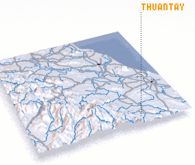 Places with similar names to Thuận Tây, Vietnam ::
Disclaimer :: Information on this page comes without warranty of any kind |
||
|
Where is Thuận Tây? Elevation and coordinates ::
Latitude (lat): 18°5'0"N Longitude (lon): 105°42'0"E
Elevation (approx.): 83m (map arrows pan, magnifying glasses zoom) |
||
|
Visiting Thuận Tây? Hotel/Accommodation ::
Book a hotel in Thuận Tây Travel Guide ::
Buy a travel guide for Vietnam rental cars ::
car rental offers GPS waypoint ::
download a GPX waypoint (PoI) of Thuận Tây for your GPS receiver
|
||