|
search place name
|
||
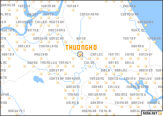
Thượng Hồ (Vietnam)Thượng Hồ is a town in Vietnam. An overview map of the region around Thượng Hồ is displayed below.
regional and 3d topo map of Thượng Hồ, Vietnam ::
Thượng Hồ airports ::
The nearest airport is SNO - Sakon Nakhon, located 222.8 km south west of Thượng Hồ.
Other airports nearby include ZVK - Savannakhet (237.0 km south west), Nearby towns ::
Ðông Xá (0.0km north) //
Thạch Tinh (1.8km west) //
Yên Hợp (1.8km west) //
Quảng Khuyên (1.8km east) //
Ðoài Ðuyệt (2.6km south west) //
Ngoại Can Loc (2.6km south east) //
Cư Lám (2.6km south east) //
Ðông Mỹ (2.6km south east) //
Dông Hòa (2.6km south east) //
Bùi Xá (3.7km north) //
Ninh Xà (3.7km north) //
Quan Ðống (3.5km east) //
Can Lộc (3.5km east) //
Kỳ Trúc (4.0km south west) //
Yên Huy (4.0km south west) //
Nham Xá (4.0km north west) //
Thôn Hói (4.0km north west) //
Ðông Sơn (5.1km south west) //
Tiêp Võ (5.1km north west) //
Ninh Vo (5.1km north west) //
Thổ Sơn (5.1km south east) //
Yên Vĩnh (5.1km south east) //
Tả Thượng (5.3km east) //
Xóm Vinh (5.6km east) //
Nguyễn Xá (5.6km west) //
Vĩnh Gia (5.6km west) //
Nam Huân (5.8km south) //
Khánh Tường (5.8km south) //
Quần Ngọc (5.8km south) //
[all distances 'as the bird flies' and approximate] 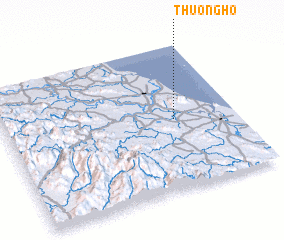 Places with similar names to Thượng Hồ, Vietnam ::
Disclaimer :: Information on this page comes without warranty of any kind |
||
|
Where is Thượng Hồ? Elevation and coordinates ::
Latitude (lat): 18°29'0"N Longitude (lon): 105°44'0"E
Elevation (approx.): 5m (map arrows pan, magnifying glasses zoom) |
||
|
Visiting Thượng Hồ? Hotel/Accommodation ::
Book a hotel in Thượng Hồ Travel Guide ::
Buy a travel guide for Vietnam rental cars ::
car rental offers GPS waypoint ::
download a GPX waypoint (PoI) of Thượng Hồ for your GPS receiver
|
||