|
search place name
|
||
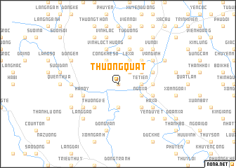
Thượng Quất (Vietnam)Thượng Quất is a town in Vietnam. An overview map of the region around Thượng Quất is displayed below.
regional and 3d topo map of Thượng Quất, Vietnam ::
Thượng Quất airports ::
The nearest airport is HAN - Hanoi Noibai Intl, located 58.5 km north of Thượng Quất.
Nearby towns ::
Phường Trên (NaNkm north) //
Nội Thôn (2.5km north east) //
Tế Tiên (3.5km east) //
Phù Lưu Tế (3.5km east) //
Ðồng Chiêm (3.7km south) //
Lê Xả (4.1km north east) //
Thành Vật (4.1km north east) //
Thanh Áng (4.1km north east) //
Ngọ Xá (3.9km south east) //
Dúc Tho (3.9km north east) //
Cống Khê Sở (4.1km north west) //
An Ðà (5.1km south east) //
Doàn Xá (5.1km north east) //
Thương Vệ (5.1km south west) //
Nội Xá (5.2km east) //
Tảo Khê (5.6km north) //
Vĩnh Hạ (5.8km north) //
Nam Dương (5.5km east) //
Thái Bình (5.5km east) //
Mỹ Ðức (5.5km east) //
Vĩnh Lộc Thương (5.8km north) //
Cao Ðương (5.5km west) //
Ha Moy (5.5km west) //
Hà Xá (6.4km south east) //
Họa Ðông (6.6km north east) //
Vân Ðình (6.4km north east) //
Bá Lam (6.4km south west) //
Làng Khi (6.9km west) //
Tử Dương (7.6km north) //
[all distances 'as the bird flies' and approximate] 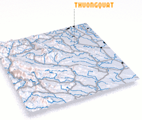 Places with similar names to Thượng Quất, Vietnam ::
Disclaimer :: Information on this page comes without warranty of any kind |
||
|
Where is Thượng Quất? Elevation and coordinates ::
Latitude (lat): 20°42'0"N Longitude (lon): 105°43'0"E
Elevation (approx.): 5m (map arrows pan, magnifying glasses zoom) |
||
|
Visiting Thượng Quất? Hotel/Accommodation ::
Book a hotel in Thượng Quất Travel Guide ::
Buy a travel guide for Vietnam rental cars ::
car rental offers GPS waypoint ::
download a GPX waypoint (PoI) of Thượng Quất for your GPS receiver
|
||