|
search place name
|
||
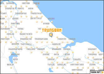
Trung Bẩm (Vietnam)Trung Bẩm is a town in Vietnam. An overview map of the region around Trung Bẩm is displayed below.
regional and 3d topo map of Trung Bẩm, Vietnam ::
Trung Bẩm airports ::
The nearest airport is ZVK - Savannakhet, located 235.2 km south west of Trung Bẩm.
Other airports nearby include SNO - Sakon Nakhon (237.6 km south west), Nearby towns ::
Hậu Côn (1.9km south) //
Ðông Tác (1.9km north) //
Hội Yên Trang (1.8km east) //
Xóm Ðồng (2.6km south west) //
Ðoài Hạ (2.6km north west) //
Ðông Cao (2) (4.0km south west) //
Trường Ngoại (4.0km south west) //
Hưng Long (4.0km south east) //
Thiện Tri (4.0km south east) //
Yên Xá (4.0km north west) //
Xuân Lộc (4.1km south east) //
Mỹ Hòa (4.1km north west) //
Mộc Bài (5.6km north) //
Mỹ Lộc (5.6km west) //
Hậu Thượng (5.6km west) //
Nhượng Bạn (5.6km east) //
Lai Lộc (5.8km south) //
Yên Dượng (5.6km west) //
Am Hạ Ðiếm (5.8km south) //
Thổ Ngọa (6.6km south west) //
Bồi Hoa (6.6km south west) //
Vân Ðôn (6.6km south west) //
Ðoài Vân (6.5km south west) //
Bàng Quí (6.6km north west) //
Lại Trung (7.4km south) //
Ngô Xá (7.0km west) //
Kim Nặc (7.6km south) //
Am Th (7.6km south) //
Cồn Soi (7.3km east) //
[all distances 'as the bird flies' and approximate] 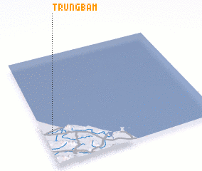 Places with similar names to Trung Bẩm, Vietnam ::
// Doringboom (ZA)
Disclaimer :: Information on this page comes without warranty of any kind |
||
|
Where is Trung Bẩm? Elevation and coordinates ::
Latitude (lat): 18°17'0"N Longitude (lon): 106°3'0"E
Elevation (approx.): 6m (map arrows pan, magnifying glasses zoom) |
||
|
Visiting Trung Bẩm? Hotel/Accommodation ::
Book a hotel in Trung Bẩm Travel Guide ::
Buy a travel guide for Vietnam rental cars ::
car rental offers GPS waypoint ::
download a GPX waypoint (PoI) of Trung Bẩm for your GPS receiver
|
||