|
search place name
|
||
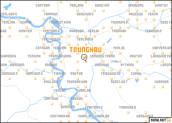
Trúng Hau (Vietnam)Trúng Hau is a town in Vietnam. An overview map of the region around Trúng Hau is displayed below.
regional and 3d topo map of Trúng Hau, Vietnam ::
Trúng Hau airports ::
The nearest airport is SNO - Sakon Nakhon, located 224.8 km south west of Trúng Hau.
Nearby towns ::
Hiến Thiện (0.0km north) //
Lễ Nghĩa (0.0km north) //
Ða Văn (1.8km west) //
Hôi Tâm (2.6km north west) //
Nhuân Ngoc (2.6km south west) //
Tinh Gia (2.6km north east) //
Yên Lăng (1) (3.7km north) //
Xóm Ðông Tràng (3.5km east) //
Sòn La (4.1km north west) //
Trang Mỹ (4.1km north west) //
Hoang Son (4.1km north west) //
Phu Tho (4.1km south west) //
Phong Sơn (4.1km south west) //
Bình Tho (4.0km north east) //
Văn Khuê (4.0km south east) //
Kim Liên (5.1km north west) //
Chi Phương (5.1km north east) //
Thượng Cát (5.1km north east) //
Bàu Vạn (5.6km north) //
Trung Thượng (5.3km west) //
Mỹ Trung (5.3km west) //
Quang Lãng (5.6km south) //
Long Thái (5.3km east) //
Van Truong (5.8km north) //
Pháo Vạn (5.8km north) //
Bĩnh Trung (5.8km north) //
Yên Ðình (5.6km west) //
Trung Phú Hạ (5.8km south) //
Dai Dong (5.8km south) //
[all distances 'as the bird flies' and approximate] 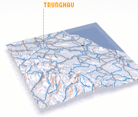 Places with similar names to Trúng Hau, Vietnam ::
Disclaimer :: Information on this page comes without warranty of any kind |
||
|
Where is Trúng Hau? Elevation and coordinates ::
Latitude (lat): 18°51'0"N Longitude (lon): 105°21'0"E
Elevation (approx.): 17m (map arrows pan, magnifying glasses zoom) |
||
|
Visiting Trúng Hau? Hotel/Accommodation ::
Book a hotel in Trúng Hau Travel Guide ::
Buy a travel guide for Vietnam rental cars ::
car rental offers GPS waypoint ::
download a GPX waypoint (PoI) of Trúng Hau for your GPS receiver
|
||