|
search place name
|
||
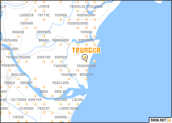
Trung Xã (Thanh Hóa, Vietnam)Trung Xã is a town in the Thanh Hóa region of Vietnam. An overview map of the region around Trung Xã is displayed below.
regional and 3d topo map of Trung Xã, Vietnam ::
Trung Xã airports ::
The nearest airport is HAN - Hanoi Noibai Intl, located 152.4 km north of Trung Xã.
Nearby towns ::
Mỹ Ðuc (0.0km north) //
Tien Trung (1.7km east) //
Trung Ngoai (1.9km south) //
Thục Banh (2.5km north west) //
Lương Hà (2.5km south west) //
Sơn Trang (3.7km north) //
Bàng Trí (3.7km south) //
Quân Phú (4.1km north west) //
Khúc Phụ (3.9km south west) //
Nam Khê (4.1km north east) //
Ha Thai (5.1km north west) //
Thuan Muc (5.1km south west) //
Ðống Hâ Dông (5.1km south west) //
Na Thôn (5.1km south west) //
Yên Hâu (5.6km north) //
Nhân Da (5.2km west) //
Thứ Nhất (5.5km west) //
Ðằng Trung (5.5km west) //
Khê Xá (5.5km west) //
Hùng Văn (5.5km west) //
Lôc Tiên (2) (5.8km north) //
Hoằng Hóa (6.4km north west) //
Ðăng Cao (7.0km west) //
Tho Văn Cương (7.0km west) //
Nghĩa Trúc (7.4km north) //
Qui Giáp (7.6km north) //
Trương Xá Nội (7.6km north) //
Trung Hòa (7.6km north) //
Ngọc Long (7.6km south west) //
[all distances 'as the bird flies' and approximate] 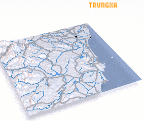 Places with similar names to Trung Xã, Vietnam ::
Disclaimer :: Information on this page comes without warranty of any kind |
||
|
Where is Trung Xã? Elevation and coordinates ::
Latitude (lat): 19°51'0"N Longitude (lon): 105°56'0"E
Elevation (approx.): 6m (map arrows pan, magnifying glasses zoom) |
||
|
Visiting Trung Xã? Hotel/Accommodation ::
Book a hotel in Trung Xã Travel Guide ::
Buy a travel guide for Vietnam rental cars ::
car rental offers GPS waypoint ::
download a GPX waypoint (PoI) of Trung Xã for your GPS receiver
|
||