|
search place name
|
||
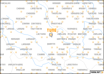
Tử Nê (Thanh Hóa, Vietnam)Tử Nê is a town in the Thanh Hóa region of Vietnam. An overview map of the region around Tử Nê is displayed below.
regional and 3d topo map of Tử Nê, Vietnam ::
Tử Nê airports ::
The nearest airport is HAN - Hanoi Noibai Intl, located 129.2 km north of Tử Nê.
Nearby towns ::
Chòm Co Giều (1.7km west) //
Quan Bằng (1.9km north) //
Bái Thượng (2.5km north east) //
Vân Trai (2.9km north east) //
Lộc Thịnh (3.5km west) //
An Cư (3.5km west) //
Quan Trì (3.7km south) //
Vân Lung (3.5km east) //
Mỹ Diềm (4.1km south east) //
Ðôn Trang (3.9km south east) //
Phiến Thôn (4.1km north east) //
Chòm Lai (3.9km north east) //
Cẩm Hoàng (3.9km north east) //
Chòm Do (5.6km north) //
Mỹ Quan (5.6km south) //
Quảng Nhân (5.2km east) //
Làng Bùi (5.5km west) //
Vô Ky (5.8km north) //
Thủy Thanh (5.5km west) //
Làng Mương (5.8km south) //
Van Bân (6.4km south east) //
Cam Trong (6.4km north west) //
Phú Môn (6.6km north east) //
Mỹ Ðúc (6.6km south east) //
Chòm Thanh (6.6km north east) //
Chòm Mồn (6.6km north east) //
Da Nam (7.4km south) //
Bùi Thượng (7.4km south) //
Mỷ Xuyên (7.0km east) //
[all distances 'as the bird flies' and approximate] 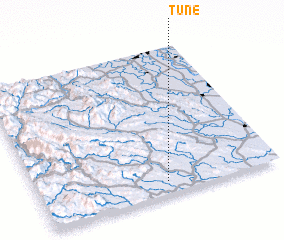 Places with similar names to Tử Nê, Vietnam ::
Disclaimer :: Information on this page comes without warranty of any kind |
||
|
Where is Tử Nê? Elevation and coordinates ::
Latitude (lat): 20°5'0"N Longitude (lon): 105°32'0"E
Elevation (approx.): 18m (map arrows pan, magnifying glasses zoom) |
||
|
Visiting Tử Nê? Hotel/Accommodation ::
Book a hotel in Tử Nê Travel Guide ::
Buy a travel guide for Vietnam rental cars ::
car rental offers GPS waypoint ::
download a GPX waypoint (PoI) of Tử Nê for your GPS receiver
|
||