|
search place name
|
||
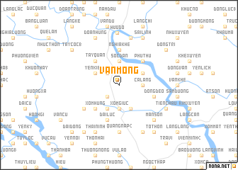
Vân Mông (Vĩnh Phú, Vietnam)Vân Mông is a town in the Vĩnh Phú region of Vietnam. An overview map of the region around Vân Mông is displayed below.
regional and 3d topo map of Vân Mông, Vietnam ::
Vân Mông airports ::
The nearest airport is HAN - Hanoi Noibai Intl, located 73.7 km south east of Vân Mông.
Nearby towns ::
Yên Kiện (1) (2.5km north west) //
Minh Kha (2.5km south west) //
Trang My (2.5km south west) //
Ca Lang (3.4km east) //
Sóc Ðán (3.7km north) //
Xóm Giuc (3.7km south) //
Thái Xương (3.9km north east) //
Yên Kiên (2) (3.9km north west) //
Kim Lăng (4.1km south east) //
Chân Mộng (4.1km south west) //
Phú Thứ (5.1km north east) //
Ngọc Lũ (5.1km north west) //
Tây Quan (5.1km north west) //
Xóm Hung (5.1km south west) //
Ðại Hội (5.6km north) //
Nghĩa Khê (5.6km north) //
Ðồng Ðeo (5.5km east) //
Ðại Lục (5.8km south) //
Ðông Lĩnh (6.4km south west) //
Quang Nạp (2) (7.4km south) //
Làng Ðam (7.6km north) //
Mãn Sơn (7.6km south east) //
Hữu Ðô (8.3km north) //
Sài Lĩnh (8.2km north east) //
Ðoan Hùng (8.2km north west) //
Thái Bình (8.2km south east) //
Thái Ninh (8.2km south west) //
Bai Cạo (7.8km south east) //
Tiên Châu (7.8km south east) //
[all distances 'as the bird flies' and approximate] 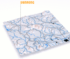 Places with similar names to Vân Mông, Vietnam ::
Disclaimer :: Information on this page comes without warranty of any kind |
||
|
Where is Vân Mông? Elevation and coordinates ::
Latitude (lat): 21°34'0"N Longitude (lon): 105°12'0"E
Elevation (approx.): 40m (map arrows pan, magnifying glasses zoom) |
||
|
Visiting Vân Mông? Hotel/Accommodation ::
Book a hotel in Vân Mông Travel Guide ::
Buy a travel guide for Vietnam rental cars ::
car rental offers GPS waypoint ::
download a GPX waypoint (PoI) of Vân Mông for your GPS receiver
|
||