|
search place name
|
||
Việt Khê (Hải Hưng, Vietnam)Việt Khê is a town in the Hải Hưng region of Vietnam. An overview map of the region around Việt Khê is displayed below.
regional and 3d topo map of Việt Khê, Vietnam ::

Việt Khê airports ::
The nearest airport is HAN - Hanoi Noibai Intl, located 87.1 km west of Việt Khê.
Other airports nearby include NNG - Nanning Wuxu (243.9 km north east), Nearby towns ::
Thương Cỏi (1.9km north) //
Thanh Lãng (1.7km east) //
Doan Lại (2.5km north west) //
Phù Lưu Nội (2.5km north west) //
Lưc Nòng (2.5km south west) //
Câu Tử (2.5km south east) //
Tông Xá Hạ (3.5km west) //
Trại Sơn (3.5km west) //
Dưỡng Chính (3.5km east) //
Lê Xá (3.7km south) //
Kinh Môn (3.9km north west) //
An Ninh Nội (3.9km north west) //
Tư Ða (3.9km south west) //
Quảng Cư (3.9km south east) //
Nhân Lý (4.1km south east) //
Phi Liệt (5.6km north) //
Mai Thu (5.6km south) //
Mỹ Giáng (5.2km east) //
Pháp Cổ (5.8km north) //
Tiên Nong (5.8km south) //
Xuyên Ðông (5.8km south) //
Mân Lộc (5.5km west) //
Huyền Tụng (5.5km west) //
Cổ Phục (5.5km west) //
Thái Lai (5.8km south) //
Chúc Sơn (5.5km east) //
Lỗ Sơn (6.5km north west) //
Chí Linh (6.5km north east) //
Mai Ðộng (6.4km north east) //
[all distances 'as the bird flies' and approximate] 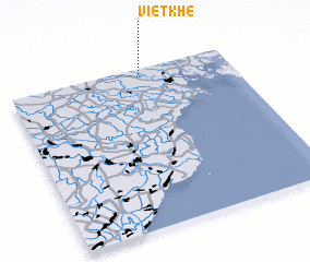
Disclaimer :: Information on this page comes without warranty of any kind |
||
|
Where is Việt Khê? Elevation and coordinates ::
Latitude (lat): 20°58'0"N Longitude (lon): 106°36'0"E
Elevation (approx.): 5m (map arrows pan, magnifying glasses zoom) |
||
|
Visiting Việt Khê? Hotel/Accommodation ::
Book a hotel in Việt Khê Travel Guide ::
Buy a travel guide for Vietnam rental cars ::
car rental offers GPS waypoint ::
download a GPX waypoint (PoI) of Việt Khê for your GPS receiver
|
||